
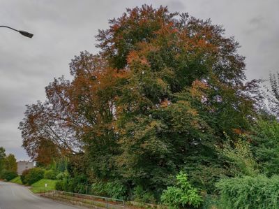
Vltavotýnský buk červený, memorable tree in České Budějovice District, Czech Republic
Location: Týn nad Vltavou
Height: 17 m
GPS coordinates: 49.22483,14.41075
Latest update: March 23, 2025 12:09
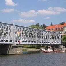
Iron bridge in Týn nad Vltavou
520 m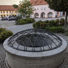
Cellars in Týn nad Vltavou
777 m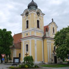
Church of Saint James
777 m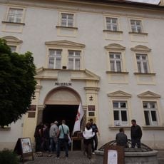
Zámek Týn nad Vltavou
759 m
Semenec
644 m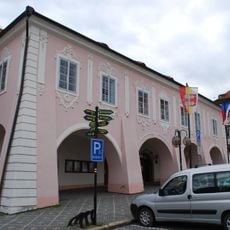
Town hall
729 m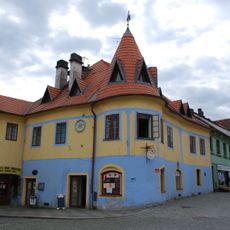
Náměstí Míru 252
718 m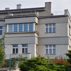
Bargerova vila
446 m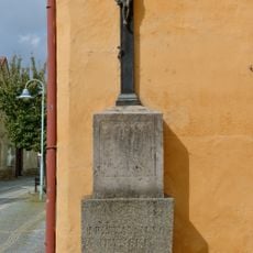
Lannův kříž
530 m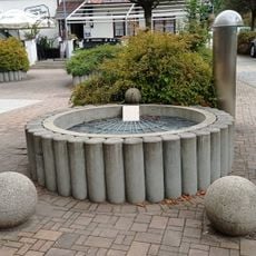
Water well in Tyršova
704 m
Náměstí Míru 251
728 m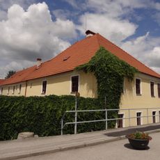
Nádražní 1
516 m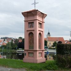
Column shrines in Malá Strana
742 m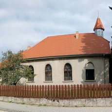
Methodist church
691 m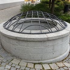
Water well in náměstí Míru
774 m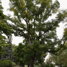
Jerlín japonský v Týně
786 m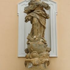
Socha Panny Marie Immaculaty u kostela svatého Jakuba v Týně nad Vltavou
777 m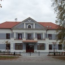
Sokolovna v Týně nad Vltavou
785 m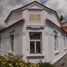
Puchmayerova 246
661 m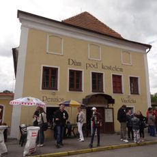
Puchmayerova 225
777 m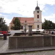
Kašna na náměstí Míru
780 m
Lípa svobody 1968 (Týn nad Vltavou)
440 m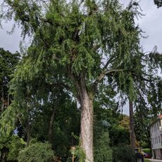
Javor stříbrný
330 m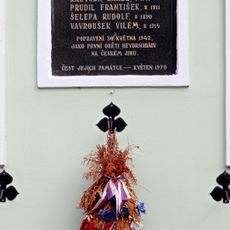
Pamětní deska obětem Heydrichiády
519 m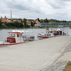
Port
744 m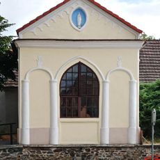
Chapel of the Virgin Mary
735 m
Torzo kříže v Aleji Míru
614 m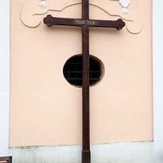
Kříž u kostela
764 mVisited this place? Tap the stars to rate it and share your experience / photos with the community! Try now! You can cancel it anytime.
Discover hidden gems everywhere you go!
From secret cafés to breathtaking viewpoints, skip the crowded tourist spots and find places that match your style. Our app makes it easy with voice search, smart filtering, route optimization, and insider tips from travelers worldwide. Download now for the complete mobile experience.

A unique approach to discovering new places❞
— Le Figaro
All the places worth exploring❞
— France Info
A tailor-made excursion in just a few clicks❞
— 20 Minutes