
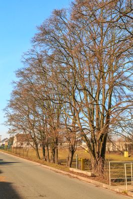
Acer campestre, memorable tree in Pardubice District, Czech Republic
Location: Pardubice
Height: 11 m
GPS coordinates: 50.03191,15.72610
Latest update: March 3, 2025 01:15
Taxis Ditch
1.9 km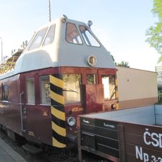
Museum MHD a železnice (Rosice nad Labem)
1.9 km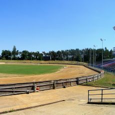
Svítkov Stadium
1.1 km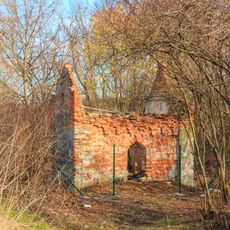
Kaple Nejsvětější Trojice
1.5 km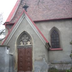
Church of Saint Wenceslaus
967 m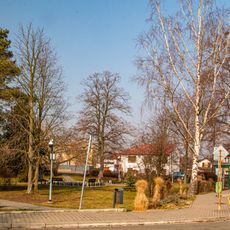
Svítkovský park
796 m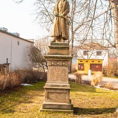
Pomník Jana Žižky
837 m
Pomník
1.3 km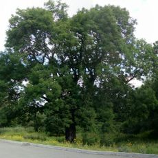
Jasan ztepilý
1.8 km
Lávka přes Bylanku proti ulici U Moruší v Pardubicích
968 m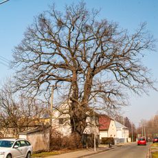
Quercus robur (dub letní)
143 m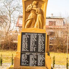
Pomník
788 m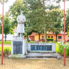
Pomník
1.4 km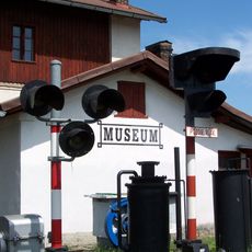
Nádražní vodárna
1.9 km
Kaple
1.3 km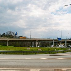
Bridge of Pražská street over road I/37 in Pardubice
1.8 km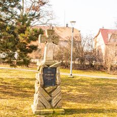
Kříž
819 m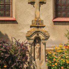
Kříž
961 m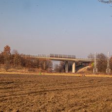
Železniční nadjezd
457 m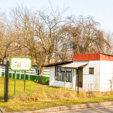
Areál svazu chovatelů Svítkov
109 m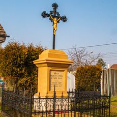
Křížek
155 m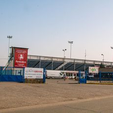
Golden helmet stadium
1.1 km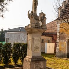
Kříž
1.3 km
Tůnice
1.7 km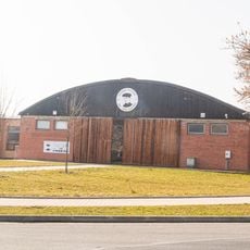
Letecké muzeum Ing. Jana Kašpara
1.4 km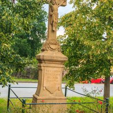
Kříž
1.3 km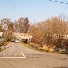
Železniční most přes Bylanku a místní komunikaci ve Svítkově
64 m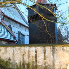
Zvonice u kostela sv. Václava
980 mVisited this place? Tap the stars to rate it and share your experience / photos with the community! Try now! You can cancel it anytime.
Discover hidden gems everywhere you go!
From secret cafés to breathtaking viewpoints, skip the crowded tourist spots and find places that match your style. Our app makes it easy with voice search, smart filtering, route optimization, and insider tips from travelers worldwide. Download now for the complete mobile experience.

A unique approach to discovering new places❞
— Le Figaro
All the places worth exploring❞
— France Info
A tailor-made excursion in just a few clicks❞
— 20 Minutes