
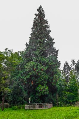
Thuje pod Kaltenštejnem, memorable tree in Jeseník District, Czech Republic
Location: Černá Voda
Height: 28 m
GPS coordinates: 50.29645,17.15595
Latest update: March 6, 2025 16:07
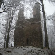
Kaltenštejn
303 m
Gotthausberg
3.5 km
Studniční vrch
4.3 km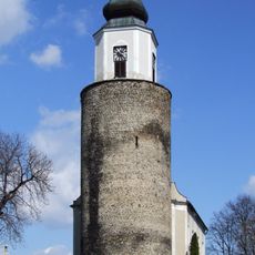
Frýdberk
4.2 km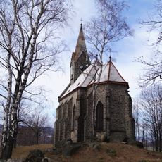
Church of Our Lady of Sorrows
3.5 km
Church of Saint Joseph in Žulová
4.2 km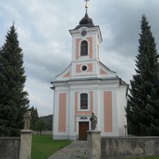
Church of the Virgin Mary
1.6 km
Píšťala
1.3 km
Křížová cesta
3.5 km
Column with Crucifixion statue
4.4 km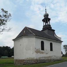
Chapel of the Nativity of the Virgin Mary
2.9 km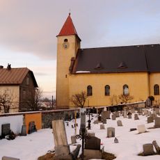
Church of Saint Philip
4.3 km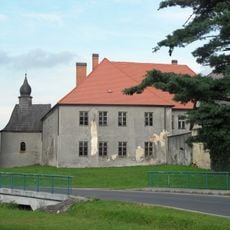
Černá Voda Castle
1.8 km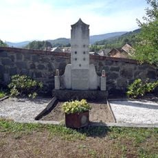
Memorial of Victims of Frývaldov Strike
4.3 km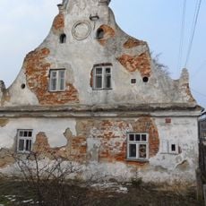
Vápenná čp. 98
4.3 km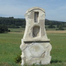
Wayside cross in Vápenná
4.3 km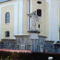
World War I memorial in Stará Červená Voda
4.9 km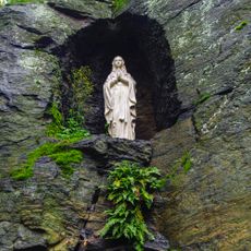
Grotta se sochou panny Marie
3.4 km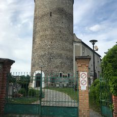
Žulová Castle
4 km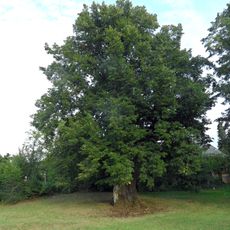
Lípa u šilhavé báby
3 km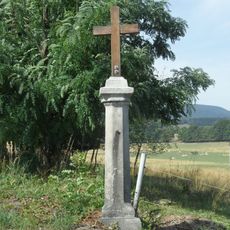
Kříž severně od Vápenné při cestě do Žulové
4.2 km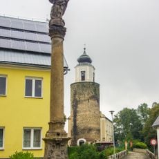
Maria column in Žulová
4.2 km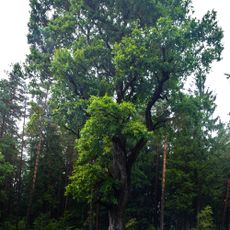
Dub u rybníka
3.1 km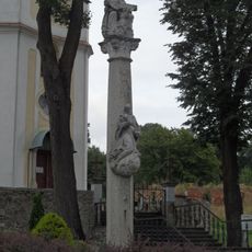
Holy Trinity column in Stará Červená Voda
4.9 km
Pomník příslušníkům finanční stráže ve Vápenné
4.4 km
14. zastavení křížové cesty
3.5 km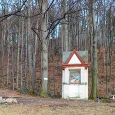
Kaplička v Žulové pod Boží horou
3.8 km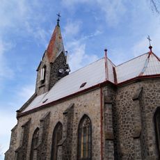
Poutní místo Boží hora
3.5 kmVisited this place? Tap the stars to rate it and share your experience / photos with the community! Try now! You can cancel it anytime.
Discover hidden gems everywhere you go!
From secret cafés to breathtaking viewpoints, skip the crowded tourist spots and find places that match your style. Our app makes it easy with voice search, smart filtering, route optimization, and insider tips from travelers worldwide. Download now for the complete mobile experience.

A unique approach to discovering new places❞
— Le Figaro
All the places worth exploring❞
— France Info
A tailor-made excursion in just a few clicks❞
— 20 Minutes