
Smrk na Javorné, memorable tree in Jeseník District, Czech Republic
Location: Zlaté Hory
Height: 41 m
GPS coordinates: 50.25572,17.32801
Latest update: September 15, 2025 22:57
Chapel of Saint Anne (Horní Údolí)
4.9 km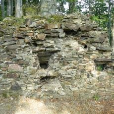
Edelštejn
4.5 km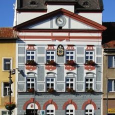
Radnice
4.9 km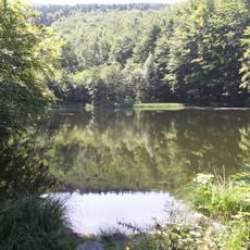
Černé jezero
4 km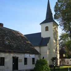
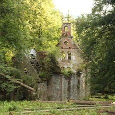
Church of the Name of the Virgin Mary
3.2 km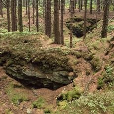
Rudní revír Starohoří
4.8 km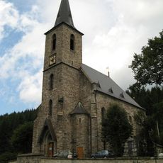
Church of Saint John the Baptist (Horní Údolí)
4.7 km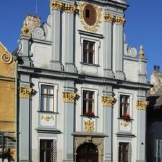
Bývalá pošta
4.9 km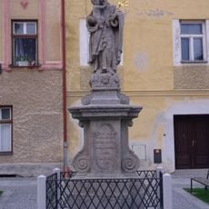
Sloup se sochou svatého Josefa Pěstouna
4.9 km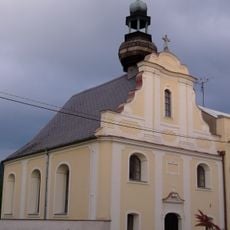
Church of Holy Cross (Zlaté Hory)
5 km
Olověná štola
4.2 km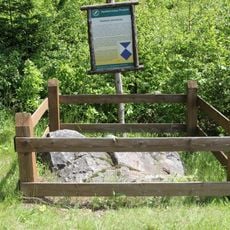
Kamień graniczny w Podlesiu
3.7 km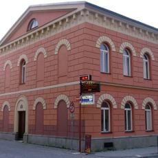
Dům čp. 67
4.9 km
Chebzí
4.7 km
Dům čp. 93
4.9 km
Dům čp. 95
4.9 km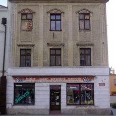
Dům čp. 87
4.9 km
Zlatohorská hornická naučná stezka
4.9 km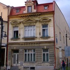
Dům čp. 18
5 km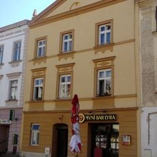
Dům čp. 22
5 km
Dům čp. 89
4.9 km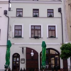
Dům čp. 88
4.9 km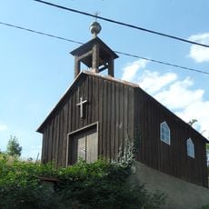
Chapel
4.5 km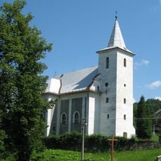
Church of Saint Martin and Our Lady of Sorrows
1.5 km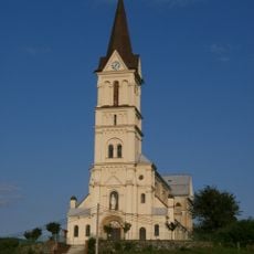
Church of Saint Nicholas
4.6 km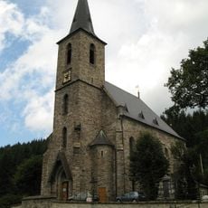
Hřbitov
4.7 km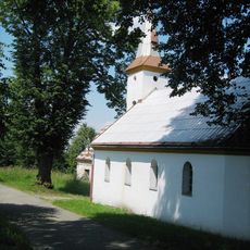
Church of the Nativity of the Virgin Mary
2.4 km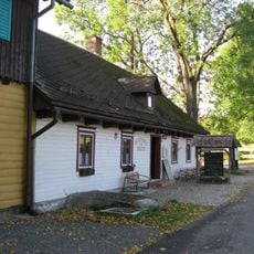
Penzion Rejvíz - bývalá Noskova chata
3.6 kmReviews
Visited this place? Tap the stars to rate it and share your experience / photos with the community! Try now! You can cancel it anytime.
Discover hidden gems everywhere you go!
From secret cafés to breathtaking viewpoints, skip the crowded tourist spots and find places that match your style. Our app makes it easy with voice search, smart filtering, route optimization, and insider tips from travelers worldwide. Download now for the complete mobile experience.

A unique approach to discovering new places❞
— Le Figaro
All the places worth exploring❞
— France Info
A tailor-made excursion in just a few clicks❞
— 20 Minutes