Zlaté Hory, Mining municipality in Jeseník District, Czech Republic.
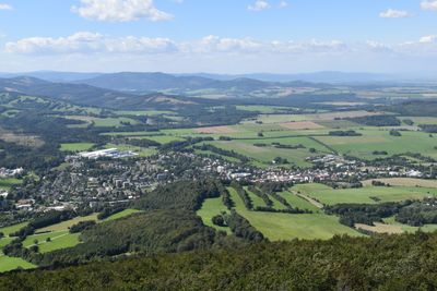
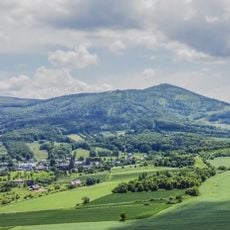
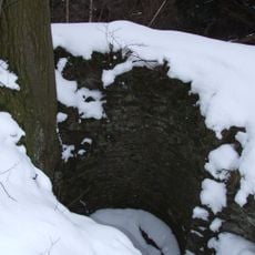
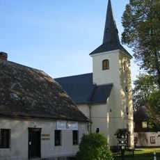
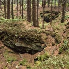
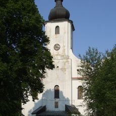
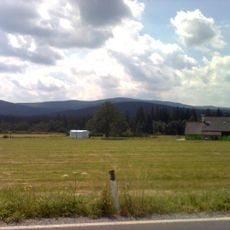
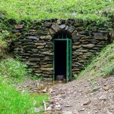
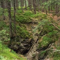
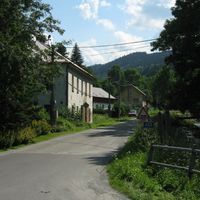
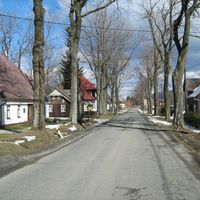
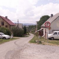
Zlaté Hory is a mining town in Jeseník District at 397 meters elevation with seven administrative divisions including Dolní Údolí, Horní Údolí, and Rejvíz. The municipality spreads across a forested mountain region with preserved shafts and galleries, some of which are open for visitors.
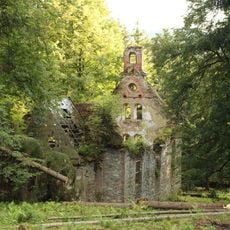
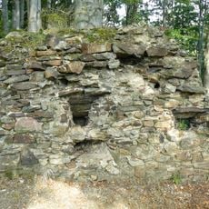
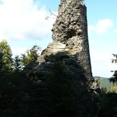
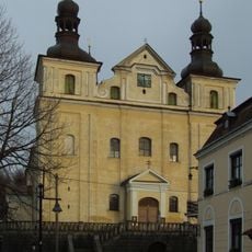
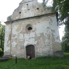
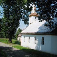
Gold mining began in 1224 and led to the construction of Edelštejn Castle for protection of valuable minerals. This early activity made Zlaté Hory one of the region's major mining centers.
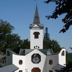
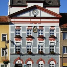
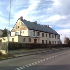
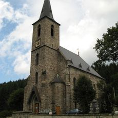
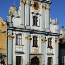
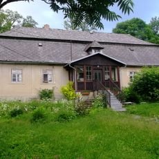
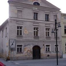
The Old Post building from 1698 displays objects from the mining past and tells stories of the 17th-century witch trials. This collection shows how deeply mining shaped the lives of people here.
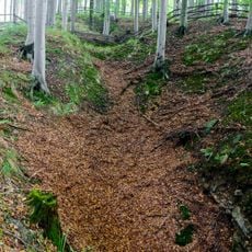
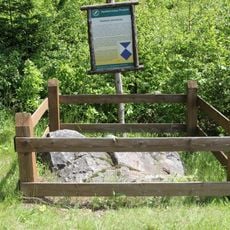
The area has many hiking trails that lead to points of interest and some that connect to former mining sites. Bring sturdy footwear, especially if you plan to enter the preserved galleries.
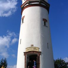
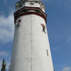
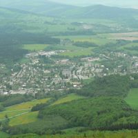
Biskupská kupa Mountain holds an observation tower built in 1898, one of the oldest standing watchtowers in the Eastern Sudetes. This viewpoint offers hikers wide views across the mountain landscape.
Location: Jeseník District
Elevation above the sea: 397 m
Shares border with: Mikulovice, Jeseník, Heřmanovice, Petrovice
Email: mesto@zlatehory.cz
Website: http://zlatehory.cz
GPS coordinates: 50.26380,17.39609
Latest update: December 7, 2025 19:23
Biskupská kupa
2.4 km
Church of Saint Mary of Help
4.2 km
Chapel of Saint Anne
5.6 km
Wieża widokowa na Biskupiej Kopie
2.1 km
Edelštejn
3.3 km
Radnice
42 m
Koberštejn
8.3 km
WOP post in Konradów
2.2 km
Leuchtenštejn
1.8 km
Biskupská kupa (rozhledna)
2.4 km
Černé jezero
3.2 km
Church of the Assumption of the Virgin Mary
120 m
Church of the Name of the Virgin Mary
7.3 km
Rudní revír Starohoří
5.1 km
Church of Saint John the Baptist (Horní Údolí)
6.1 km
Church of Saint Andrew
7.8 km
Bývalá pošta
105 m
Sloup se sochou svatého Josefa Pěstouna
21 m
Church of Holy Cross (Zlaté Hory)
316 m
Schlossberg
8.5 km
Měděná štola
2.5 km
Kaple svatého Rocha
792 m
Štola Marie Pomocná (natural monument)
3.9 km
Olověná štola
4.8 km
Fara
113 m
Dům čp. 67
159 m
Kamień graniczny w Podlesiu
3 km
Dům čp. 93
87 mVisited this place? Tap the stars to rate it and share your experience / photos with the community! Try now! You can cancel it anytime.
Discover hidden gems everywhere you go!
From secret cafés to breathtaking viewpoints, skip the crowded tourist spots and find places that match your style. Our app makes it easy with voice search, smart filtering, route optimization, and insider tips from travelers worldwide. Download now for the complete mobile experience.
A unique approach to discovering new places❞
— Le Figaro
All the places worth exploring❞
— France Info
A tailor-made excursion in just a few clicks❞
— 20 Minutes