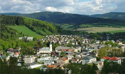
Jeseník District, Administrative district in Olomouc Region, Czech Republic.
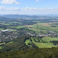
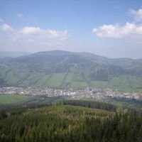
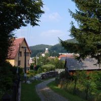
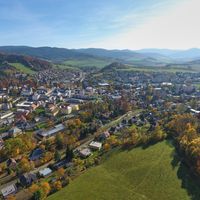
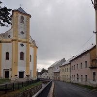
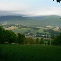
Jeseník District is an administrative area in the Olomouc Region featuring mountainous terrain covered by dense forests. The territory includes 24 municipalities spread across forested valleys and ridges, with the town of Jeseník functioning as the main administrative center and Keprnik peak reaching 1,423 meters (4,668 feet).
The district became independent in 1996 after separating from its neighboring administrative area. It marked the first new district created in the Czech Republic in more than 3 decades.
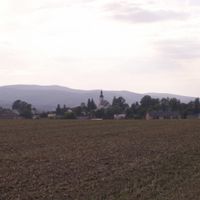
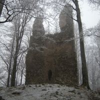
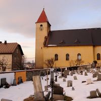
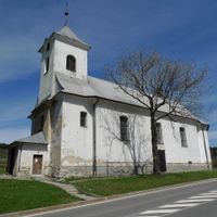
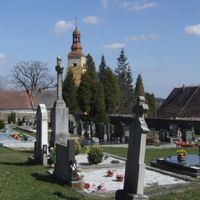
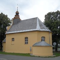
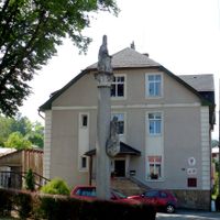
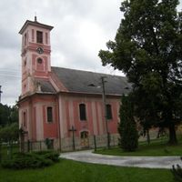
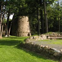
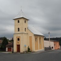
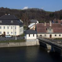
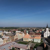
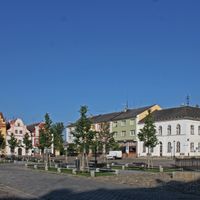
Historic landmarks like Jánský Vrch Castle shape the local identity, while preserved town centers in Javorník and Zlaté Hory carry visible reminders of centuries past. Walking through these places, visitors notice how architectural details and street layouts reflect the area's deep roots.
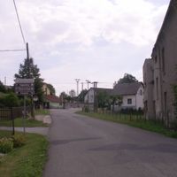
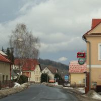
The area is connected by the I/44 road, making travel between municipalities straightforward and practical. Visitors should come prepared for rural infrastructure and expect that reaching some villages may require patience and time.
The territory holds the distinction of being both the least densely populated and most forested district in the entire Czech Republic. Woodlands cover roughly 430 square kilometers (166 square miles), making it one of the least inhabited places in the nation.
The community of curious travelers
AroundUs brings together thousands of curated places, local tips, and hidden gems, enriched daily by 60,000 contributors worldwide.