Enable Location

We need your location to show you interesting places around you

Discover nearby places

Find interesting locations and hidden gems around you

Precise directions

Get accurate directions and distances to places

Your location is never shared with other users. It's only used when you tap the location button.

Jeseník

Log in to your account

Start exploring — it's free

Trusted by 61,688 travelers worldwide

Continue with Google
Continue with Apple
or

We will send you a code to connect

By continuing, you accept our Terms and Conditions and our Privacy Policy

Check your inbox

We've sent a pincode in your inbox. Please enter the code below.

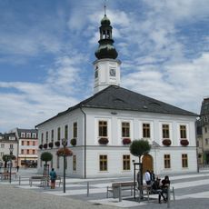
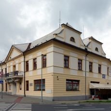
Jeseník, District town in Olomouc Region, Czech Republic.

Description

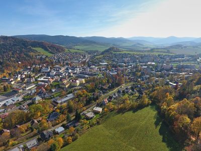
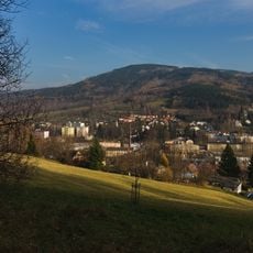
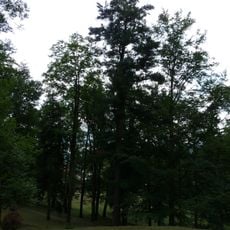
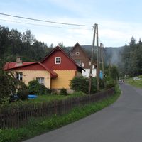
Jeseník is a district town in the Olomouc Region situated at roughly 432 meters in elevation where the Bělá River meets the Staříč Stream. The town spreads across rolling terrain within the Zlatohorská Highlands.

History

The town was founded as a settlement in 1267 and only received its current name in 1947, having been called Frývaldov for centuries before. Iron ore processing emerged as a key industry during the 14th century and shaped early economic development.

Culture

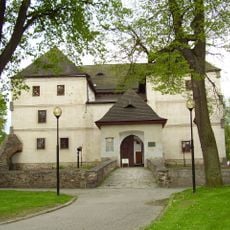
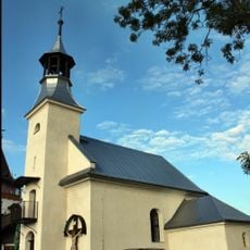
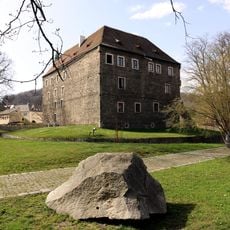
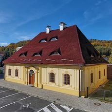
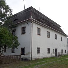
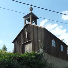
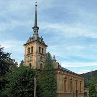
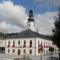
The regional museum housed in a 13th-century fortress displays local history collections and mineral specimens from the surrounding mountains. The town serves as a center where traditional crafts and mining heritage remain part of community memory.

Practical

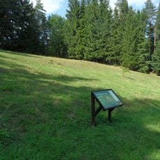
The town connects to nearby cities through regional bus networks and a railway station operating since 1888. Visitors can explore the central area on foot and easily access the surrounding highland terrain.

Did you know?

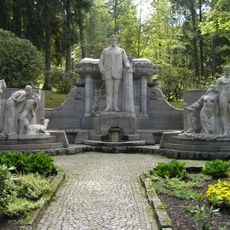
The Priessnitz Medical Spa, established in 1822, was the first hydrotherapy center in the world and drew patients from across Europe seeking treatment. This pioneering facility put the town on the map as a healing destination during the 19th century.

Elevation above the sea
432 m
Reference
CZ0711536385
Shares border with
Zlaté Hory, Bělá pod Pradědem, Lipová-lázně, Česká Ves, Mikulovice
GPS coordinates
50.22938,17.20472
Latest update
December 20, 2025 00:21

AroundUs brings together thousands of curated places, local tips, and hidden gems, enriched daily by 60,000 contributors worldwide. Discover all places nearby (Jeseník District).

Administrative divisions
« Jeseník - District town in Olomouc Region, Czech Republic » is provided by Around Us (aroundus.com). Images and texts are derived from Wikimedia project under a Creative Commons license. You are allowed to copy, distribute, and modify copies of this page, under the conditions set by the license, as long as this note is clearly visible.

Discover hidden gems everywhere you go!

From secret cafés to breathtaking viewpoints, skip the crowded tourist spots and find places that match your style. Our app makes it easy with voice search, smart filtering, route optimization, and insider tips from travelers worldwide. Download now for the complete mobile experience.

Around Us App Screenshot

A unique approach to discovering new places

Le Figaro

All the places worth exploring

France Info

A tailor-made excursion in just a few clicks

20 Minutes

Around Us
Travel Guide & Maps
Download

Send to your phone

QR Code
1

Open the camera app on your mobile.

2

Point at the QR code with your camera. A notification will appear.

3

Tap the notification to open the link.