Chest opened
+${chestReward.xp} XP
Explorer
NOUVEAU ×${chestReward.collectible.quantity}
tapez pour fermer
Chest locked

Open chests in the app

Around Us is built for your phone — chests unlock when you walk, explore and capture nearby places.

Enable Location

We need your location to show you interesting places around you

Discover nearby places

Find interesting locations and hidden gems around you

Precise directions

Get accurate directions and distances to places

Your location is never shared with other users. It's only used when you tap the location button.

Log in to your account

Start exploring — it's free

Trusted by 72,884 travelers worldwide

Continue with Google
Continue with Apple
or

We will send you a code to connect

By continuing, you accept our Terms and Conditions and our Privacy Policy

Check your inbox

We've sent a pincode in your inbox. Please enter the code below.

Discussion Reviews Photo
2.2k Popularity

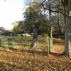
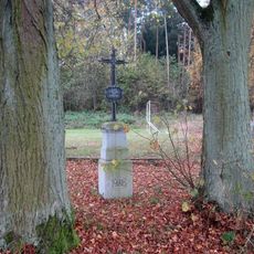
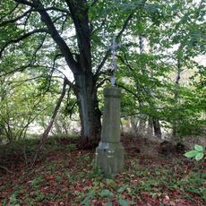
Závišínský potok, Natural monument in Bělčice, Czech Republic.

The Závišínský potok is a stream that flows through the Strakonice and Příbram districts at the boundary between Central and South Bohemia. It feeds several ponds in the area and eventually joins the Lomnice River.

The stream received protected status as a natural monument in 2013, establishing official recognition for its ecological value. This designation marked a formal commitment to preserving the waterway and its surrounding environment.

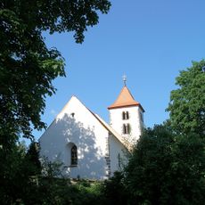
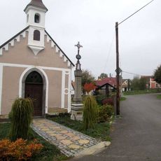
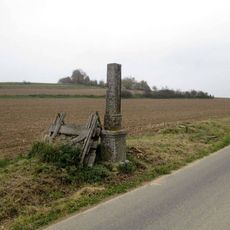
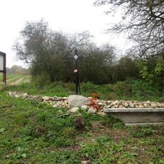
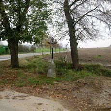
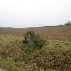
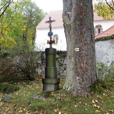
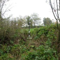
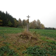
The stream has long been tied to how local people managed water and shaped the landscape through traditional pond systems. Visitors today can observe how the flow connects different communities and influences the character of the countryside.

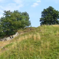
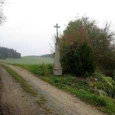
The stream is accessible from multiple points along its course and can be reached on foot from nearby communities. The best time to explore is during warmer months when the surrounding paths and banks are dry.

The stream originates near 745 meters elevation on a mountainside and drops roughly 300 meters by the time it reaches the Lomnice. This descent once made it valuable as a power source for traditional mills that served nearby settlements.

The community of curious travelers

AroundUs brings together thousands of curated places, local tips, and hidden gems, enriched daily by 60,000 contributors worldwide.

Start exploring
Location
Inception
2013
GPS coordinates
49.50246,13.84175
Latest update
December 13, 2025 12:20
Around this place
Saint Ursula Church
Czech Republic

Saint Ursula Church

657 m
Bělčice (castle)
Czech Republic

Bělčice (castle)

1.6 km
Kříž na křižovatce v Hornosíně
Czech Republic

Kříž na křižovatce v Hornosíně

2.3 km
Chapel of Saint Adalbert
Czech Republic

Chapel of Saint Adalbert

703 m
Kříž u kaple v Záhrobí
Czech Republic

Kříž u kaple v Záhrobí

860 m
Svojsíkova lípa
Czech Republic

Svojsíkova lípa

1.8 km
Pomník padlým v Tisově
Czech Republic

Pomník padlým v Tisově

2.1 km
Kříž východně od Újezdce
Czech Republic

Kříž východně od Újezdce

757 m
Kříž severovýchodně od Záhrobí
Czech Republic

Kříž severovýchodně od Záhrobí

1.7 km
Kříž jihozápadně od Újezdce
Czech Republic

Kříž jihozápadně od Újezdce

1 km
Pomník padlým v Hornosíně
Czech Republic

Pomník padlým v Hornosíně

2.2 km
Chapel of Saint Florian
Czech Republic

Chapel of Saint Florian

2.2 km
Kříž severovýchodně od Hornosína
Czech Republic

Kříž severovýchodně od Hornosína

2 km
Kříž západně od Újezdce
Czech Republic

Kříž západně od Újezdce

1.5 km
Kříž západně od Bělčic u křižovatky
Czech Republic

Kříž západně od Bělčic u křižovatky

1.4 km
Smírčí kříž východně od Újezdce
Czech Republic

Smírčí kříž východně od Újezdce

779 m
Chapel of Virgin Mary
Czech Republic

Chapel of Virgin Mary

858 m
Kříž u kostela v Újezdci
Czech Republic

Kříž u kostela v Újezdci

651 m
Kříž v Tisově
Czech Republic

Kříž v Tisově

2.1 km
Kříž jihozápadně od Újezdce u Planinského rybníka
Czech Republic

Kříž jihozápadně od Újezdce u Planinského rybníka

1.8 km
Kříž západně od Újezdce u rybníka Malý Zlatohlav
Czech Republic

Kříž západně od Újezdce u rybníka Malý Zlatohlav

1.3 km
Kříž východně od Hornosína
Czech Republic

Kříž východně od Hornosína

2.2 km
Kříž jižně od Újezdce
Czech Republic

Kříž jižně od Újezdce

956 m
Kříž východně od Újezdce v poli
Czech Republic

Kříž východně od Újezdce v poli

476 m
Penitence cross 0672
Czech Republic

Penitence cross 0672

778 m
Kříž západně od Bělčic u zahrad
Czech Republic

Kříž západně od Bělčic u zahrad

1.7 km
Kříž v Bělčicích u křižovatky
Czech Republic

Kříž v Bělčicích u křižovatky

2 km
Kaplička severozápadně od Bělčic
Czech Republic

Kaplička severozápadně od Bělčic

2 km
Show the full map
Reviews
Share your experience

No review yet

Discussions
Start a discussion...

No discussion yet

« Závišínský potok - Natural monument in Bělčice, Czech Republic » is provided by Around Us (aroundus.com). Images and texts are derived from Wikimedia project under a Creative Commons license. You are allowed to copy, distribute, and modify copies of this page, under the conditions set by the license, as long as this note is clearly visible.

Discover hidden gems everywhere you go!

From secret cafés to breathtaking viewpoints, skip the crowded tourist spots and find places that match your style. Our app makes it easy with voice search, smart filtering, route optimization, and insider tips from travelers worldwide. Download now for the complete mobile experience.

Around Us App Screenshot

A unique approach to discovering new places

Le Figaro

All the places worth exploring

France Info

A tailor-made excursion in just a few clicks

20 Minutes

Around Us
Travel Guide & Maps
Download

Send to your phone

QR Code
1

Open the camera app on your mobile.

2

Point at the QR code with your camera. A notification will appear.

3

Tap the notification to open the link.