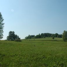
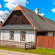
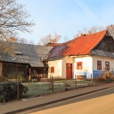
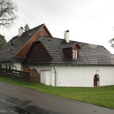
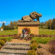
U oběšeného, Summit in Svratouch, Czech Republic.
U oběšeného is a summit near Svratouch that rises approximately 737 meters above the surrounding terrain. The peak sits within a landscape of forests and agricultural fields along the border region between Bohemia and Moravia.
The summit's name appears in the Czech state map series and the databases of the Czech Office for Surveying, Mapping and Cadastre as a standardized geographic name for a hill and its peak. A granite survey marker of the national trigonometric network, point No. 41 on triangulation sheet 2420, stands on the meadow at 737.38 m. Northeast of the peak, iron ore was mined in the past, and in the 1950s the skarn there was explored for uranium.
The name U oběšeného is a standardised geographic name for the hill and its summit, published in state maps and databases of the Czech Office for Surveying, Mapping and Cadastre. Local people traditionally call the hill Na Panenkách, a name recorded as a minor place name. The summit lies in the Žďárské vrchy Protected Landscape Area.
The summit lies on a broad meadow about 1,160 m northwest of the Chapel of St John of Nepomuk in Svratouch and 625 m southwest of the II/354 road, reached via a turn-off at the 708 m saddle. A granite survey marker stands on the meadow above a belt of spruce forest. The summit area belongs to the municipality and a water reservoir was built on the slope.
The summit lies on the main European watershed between the Elbe and the Danube, so rain falling on one side drains to the North Sea and on the other to the Black Sea. About 750 m northwest of the top, at 705 m, the Filipovský spring is the highest and most copious source of the Chrudimka.
The community of curious travelers
AroundUs brings together thousands of curated places, local tips, and hidden gems, enriched daily by 92,687 contributors worldwide.