
Buk lesní, memorable tree in Chrudim District, Czech Republic
Location: Třemošnice
Height: 28 m
GPS coordinates: 49.84738,15.56416
Latest update: May 7, 2025 19:41
Pařížov Dam
2.1 km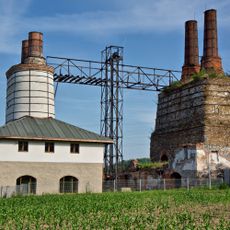
Berlova vápenka
3.3 km
Kaňkovy hory
2.8 km
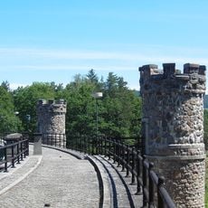
Lichnice
3.6 km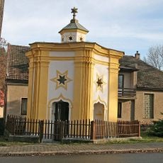
Chapel of Saint John of Nepomuk
2.6 km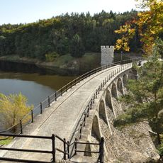
Přírodní park Doubrava
1 km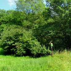
Na Obůrce
2.2 km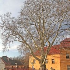
Platan v Běstvině
2.5 km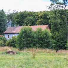
Watermill in Pařížov
1.5 km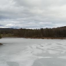
Pařížov Reservoir
2.1 km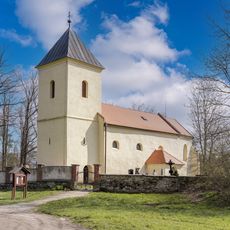
Church of Saint Martin (Ronov nad Doubravou)
3.4 km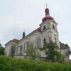
Church of Saint John the Baptist (Běstvina)
2.8 km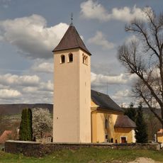
Church of Saint Mary Magdalene (Pařížov)
1.4 km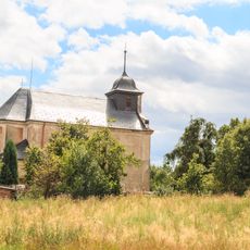
Church of Saint Bartholomew
2.8 km
Zámek Třemošnice
2.3 km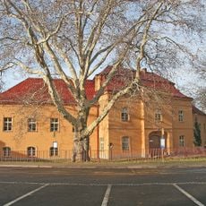
Zámek Běstvina
2.5 km
Duby letní v Běstvině
2.8 km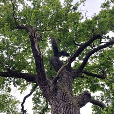
Dub u rybníka Šanda
1.5 km
Castle Moravany
1.6 km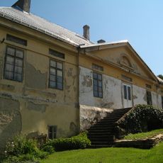
Panský dům
2.6 km
Lichnice - Kaňkovy hory
2.7 km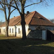
Dům čp. 4
3.2 km
Dub u Hluboše
2.3 km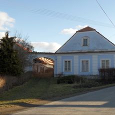
Dům čp. 13
3.2 km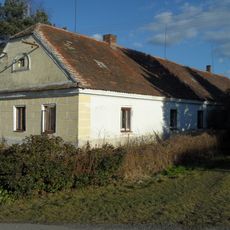
Dům čp. 10
3.2 km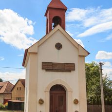
Chapel in Kněžice
3.1 km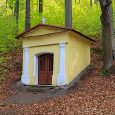
Kaplička svatého Jana Nepomuckého v lese jižně od Třemošnice
2.5 km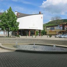
Kašna na náměstí v Třemošnici
2.7 kmReviews
Visited this place? Tap the stars to rate it and share your experience / photos with the community! Try now! You can cancel it anytime.
Discover hidden gems everywhere you go!
From secret cafés to breathtaking viewpoints, skip the crowded tourist spots and find places that match your style. Our app makes it easy with voice search, smart filtering, route optimization, and insider tips from travelers worldwide. Download now for the complete mobile experience.

A unique approach to discovering new places❞
— Le Figaro
All the places worth exploring❞
— France Info
A tailor-made excursion in just a few clicks❞
— 20 Minutes