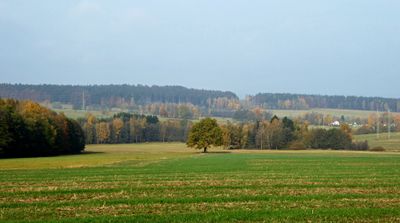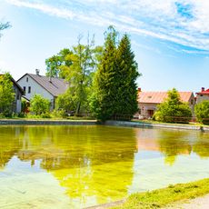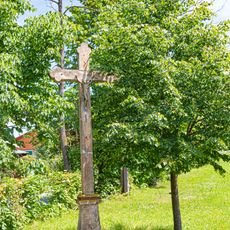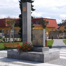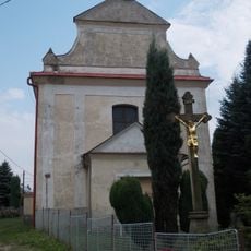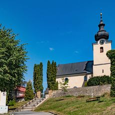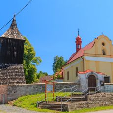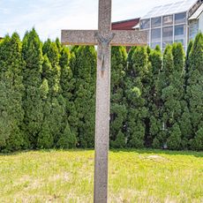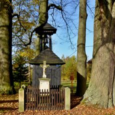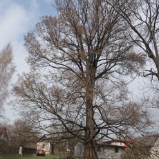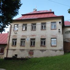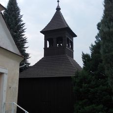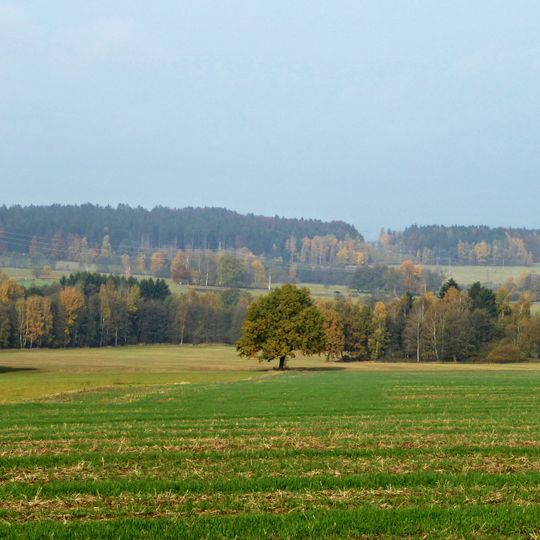
Stružinecká pahorkatina, Rolling landscape in Havlíčkův Brod District, Czech Republic.
The Stružinecká pahorkatina is a gently rolling landscape located in the southwestern portion of the broader upland region, covering a substantial expanse of countryside. The terrain rises and falls between elevations of roughly 525 to 660 meters, creating a varied topography of valleys, wooded slopes, and open hillsides.
The name Stružinecká pahorkatina comes from the village of Stružinec, now part of Ždírec nad Doubravou, on the north-northwest slope of Barchanec (624 m). The district is the second smallest geomorphological okrsek of the Sečská vrchovina, classified under index IIC-3B-3. Its highest point, Křížový vrch at 660.5 m, lies on farmland in the Krucemburk cadastre and carries trigonometric point no. 48 of the Czech State Trigonometric Network.
The name Stružinecká pahorkatina comes from the village of Stružinec, part of Ždírec nad Doubravou, on the north-northwest slope of Barchanec (624 m). The surrounding hill country is typical of the small-scale landscape character of the southeastern Železné hory. The area lies near the geographic centre of Czechia, marked by Číhošť in Havlíčkův Brod District.
The area connects to major roads and has access to a railway line that serves the region, making it reachable from nearby towns. Exploring the landscape works best when you have your own transportation or join organized tours of the locality.
The highest point is Křížový vrch at 660.5 m, marked by a trigonometric point (no. 48, sheet 2425) of the Czech State Trigonometric Network, set in a farmed field in the Krucemburk cadastre. The summit is easy to overlook because it lacks a wooded peak.
The community of curious travelers
AroundUs brings together thousands of curated places, local tips, and hidden gems, enriched daily by 93,993 contributors worldwide.