
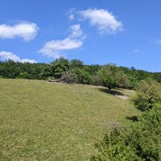
Čihadelské rybníky, protected area in Czech Republic
Location: Kněžičky
Inception: 2016
Elevation above the sea: 243 m
GPS coordinates: 50.15542,15.34876
Latest update: March 4, 2025 19:01

Kozí hůra
4.4 km
Church of Saint Procopius
4 km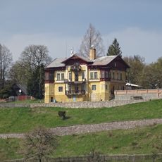
Neugebau
1.2 km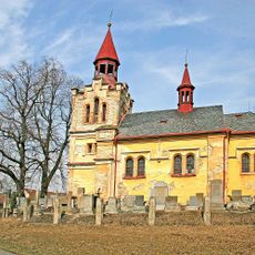
Church of the Nativity of the Virgin Mary
2.5 km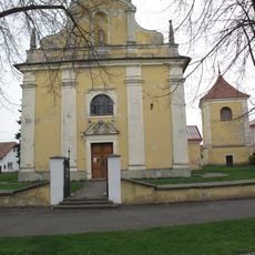
Church of Saint Bartholomew
2.8 km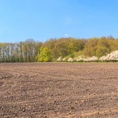
Žiželický les
3.4 km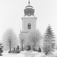
Church of the Nativity of the Virgin Mary
3.6 km
PP Víno
3.6 km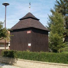
Bell tower in Končice
3.8 km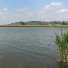
Ptačí oblast Žehuňský rybník – Obora Kněžičky
1.9 km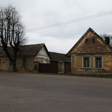
Zemědělská usedlost čp. 8
2.7 km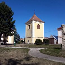
Zvonice v Lovčicích
2.8 km
Lípa v Žiželicích
4 km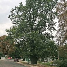
Dub v Žehuni
4.5 km
Nadjezd přes dálnici D11 u Žiželic
4.5 km
Town hall in Žiželice
4.1 km
Statue of John of Nepomuk in Žiželice
4.1 km
Pomník padlých
4.1 km
Socha sv. Václava
4.1 km
Wayside cross in Končice
3.8 km
Pamětní deska
3.9 km
Kříž
4 km
Pamětní deska
4.1 km
Sportovní hala
4.1 km
Pomník padlým v parku v Končicích
3.8 km
Víno
3.6 km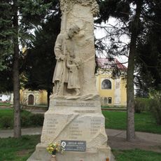
Pomník obětem světových válek v Lovčících u Nového Bydžova
2.8 km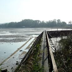
Česlová lávka přes výpusť Žehuňského rybníka
4.4 kmReviews
Visited this place? Tap the stars to rate it and share your experience / photos with the community! Try now! You can cancel it anytime.
Discover hidden gems everywhere you go!
From secret cafés to breathtaking viewpoints, skip the crowded tourist spots and find places that match your style. Our app makes it easy with voice search, smart filtering, route optimization, and insider tips from travelers worldwide. Download now for the complete mobile experience.

A unique approach to discovering new places❞
— Le Figaro
All the places worth exploring❞
— France Info
A tailor-made excursion in just a few clicks❞
— 20 Minutes