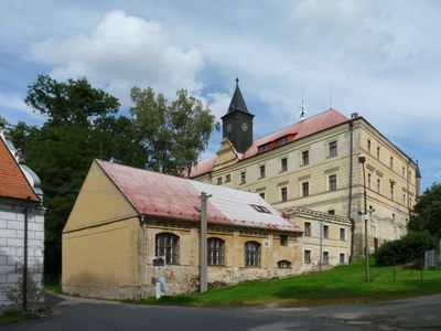
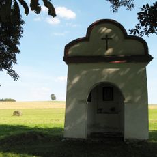
Radenín Castle, Renaissance château in Radenín, Czech Republic
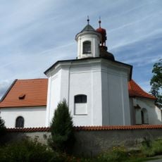
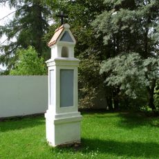
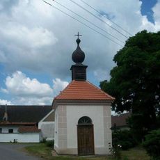
Radenín Castle is a château with a rectangular layout, four wings arranged around a central courtyard, situated on elevated terrain above the village. The nearby Church of Saint Margaret stands close by, creating a distinctive architectural grouping visible across the surrounding landscape.
The structure began as a fortress in 1363 and underwent a major transformation into a Renaissance château during the early 1600s. This conversion fundamentally changed it from a defensive building into a residential palace for the nobility.
The castle serves as a focal point for the surrounding village, anchoring the local landscape with its presence on high ground. Its position and form are deeply connected to how residents experience the layout of Radenín.
The castle sits on elevated ground, which means the approach involves climbing but rewards visitors with good views of the surrounding area. The high location makes it easy to understand the geography of the village and neighboring landscape.
The building received extensive Neo-Renaissance modifications between 1869 and 1878, blending architectural elements from different historical periods into a unified design. These additions are visible on the exterior and show how the structure was reimagined in the 1800s.
The community of curious travelers
AroundUs brings together thousands of curated places, local tips, and hidden gems, enriched daily by 60,000 contributors worldwide.