
Bridge of Hlučínská street over the Oder in Ostrava
Bridge of Hlučínská street over the Oder in Ostrava, most silnice I/56
Location: Přívoz
Location: Petřkovice
Inception: 1929
GPS coordinates: 49.86322,18.25721
Latest update: September 23, 2025 16:46

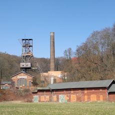
Hornické muzeum Ostrava
842 m
Anselm Mine
808 m
Church of the Immaculate Conception
1.8 km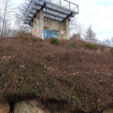
Viewpoint in Petřkovice
1.2 km
Open Arms – Hug
1.3 km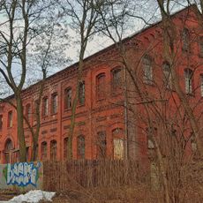
Oskar mine
1.3 km
Ostrava City Archive
1.7 km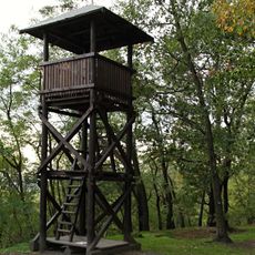
Watchtower Landek
1.2 km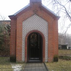
Chapel of Saint Barbara
702 m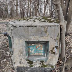
Pozorovatelna civilní obrany Koblov
1.5 km
Most Slovenské ulice přes Černý příkop
1.3 km
Budova archivu města Ostravy
1.7 km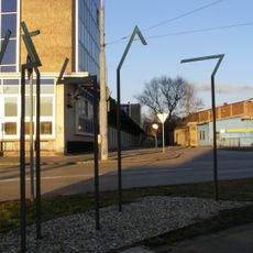
Memorial to the Deportees from Ostrava to Nisko
1.5 km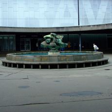
Fountain at Ostrava hlavní nádraží
1.6 km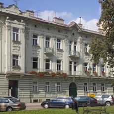
2 Náměstí Svatopluka Čecha in Přívoz
1.8 km
Plastika na fontáně před hlavním nádražím v Ostravě
1.6 km
4 Náměstí Svatopluka Čecha in Přívoz
1.8 km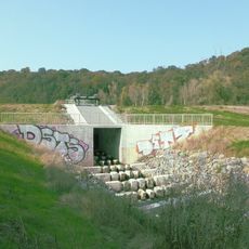
Fish pass Ostrava-Přívoz
1.1 km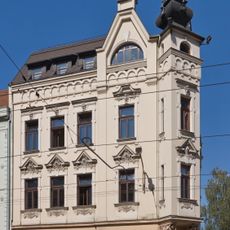
1 Hlávkova street in Ostrava
1.8 km
8 and 9 Náměstí Svatopluka Čecha in Přívoz
1.8 km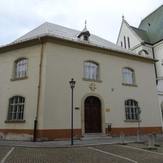
Fara, Ostrava, náměstí Svatopluka Čecha č.p. 507/5
1.7 km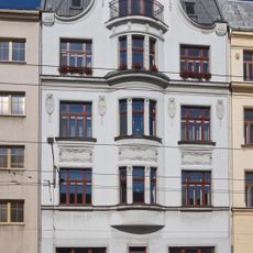
176 Nádražní street in Ostrava
1.8 km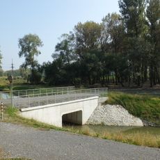
Můstek přes slepé rameno Odry pod Landekem
911 m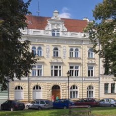
3 Náměstí Svatopluka Čecha in Přívoz
1.8 km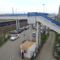
Footbridge over Ostrava hlavní nádraží
1.4 km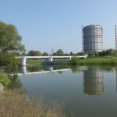
Weir in Ostrava-Přívoz
947 m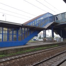
Platforms footbridge of Ostrava hlavní nádraží
1.5 km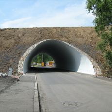
Most silnice I/56 přes Palackého ulici v Ostravě
1.4 kmReviews
Visited this place? Tap the stars to rate it and share your experience / photos with the community! Try now! You can cancel it anytime.
Discover hidden gems everywhere you go!
From secret cafés to breathtaking viewpoints, skip the crowded tourist spots and find places that match your style. Our app makes it easy with voice search, smart filtering, route optimization, and insider tips from travelers worldwide. Download now for the complete mobile experience.

A unique approach to discovering new places❞
— Le Figaro
All the places worth exploring❞
— France Info
A tailor-made excursion in just a few clicks❞
— 20 Minutes