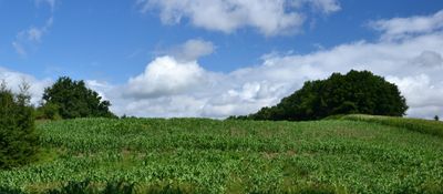
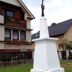
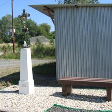
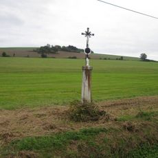
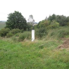
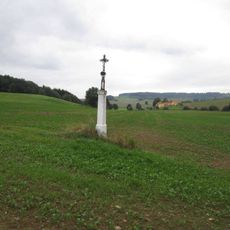
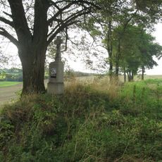
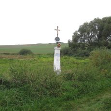
Tuhošť, Iron Age hillfort in Smolov, Czech Republic
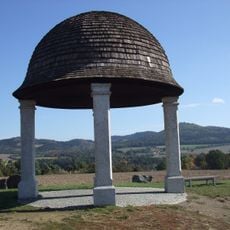
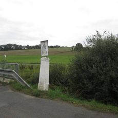
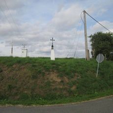
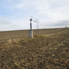
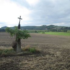
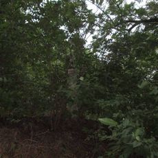
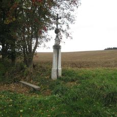
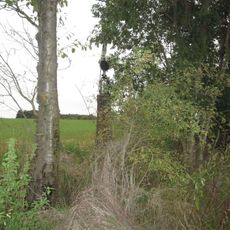
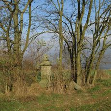
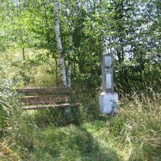
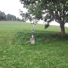
Tuhošť is an Iron Age hillfort located on elevated terrain near Smolov village. The site features ancient defensive earthworks and stone structures that form the visible remains of this fortified settlement.
This fortification was built during the Iron Age as a center for the surrounding communities. It served as a place of refuge and control for people living in the region.
The archaeological remains at Tuhošť demonstrate the engineering capabilities of early Slavic tribes who constructed these defensive structures across the Czech territories.
The site is reachable from Smolov village by walking trails and is best visited during warmer months. Sturdy footwear is advisable due to the uneven terrain and slopes of the hilltop location.
The geographical positioning of Tuhošť at coordinates 49.420343, 12.963036 allowed its inhabitants to monitor movement across extensive sections of the surrounding territory.
Location: Smolov
GPS coordinates: 49.42034,12.96304
Latest update: December 14, 2025 16:44
Church of Saint Lawrence
2.1 km
Pomník Boženy Němcové ve středu Mrákova
2.1 km
Chapel of Saint Wenceslaus
2.3 km
Crucifix in Mrákov
2.1 km
Boží muka u lomu vedle silnice Mrákov - Kout na Šumavě
1.8 km
Gloriet Klobouk
2.6 km
Kříž jižně od Mrákova u cesty do Krásnice
2.8 km
Kaple svatého Martina
2.2 km
Kříž v poli severně od Tlumačova ten jižní
2.7 km
Kaplička ve Vodolence u Chrastavic
2.4 km
Kříž západně od Mrákova u silnice do Tlumačova
2.3 km
Kříž severně od Mrákova u remízku
1.6 km
Kříž severně od Mrákova nad Povezským mlýnem
1.5 km
Kříž u silnice nad rozcestím severně od Tlumačova
2.7 km
Kříž severně od Mrákova u potoka
1.5 km
Obrázek u potoka východně od Tlumačova
2.5 km
Kříž u křižovatky severně od Tlumačova
2.6 km
Boží muka u místní komunikace jihozápadně od Mrákova
2.4 km
Kříž v poli severně od Tlumačova ten severní
2.6 km
Kříž v poli severně od Tlumačova ten střední
2.6 km
Kříž ve křoví v zatáčce východně od Nevolic
2 km
Kříž u polní cesty východně od Tlumačova
2.3 km
Kříž u polní cesty mezi Nevolicemi a Domažlicemi
1.5 km
Kříž východně od Domažlic
2.6 km
Gloriet u polní cesty mezi Koutem na Šumavě a Spáňovem
2.6 km
Boží muka u silnice jižně na okraji Starého Klíčova
2.4 km
Kříž na svahu u Podvezského mlýna jižně od Mrákova
2 km
Pomník padlým v I. sv. válce ve středu Mrákova
2.1 kmVisited this place? Tap the stars to rate it and share your experience / photos with the community! Try now! You can cancel it anytime.
Discover hidden gems everywhere you go!
From secret cafés to breathtaking viewpoints, skip the crowded tourist spots and find places that match your style. Our app makes it easy with voice search, smart filtering, route optimization, and insider tips from travelers worldwide. Download now for the complete mobile experience.
A unique approach to discovering new places❞
— Le Figaro
All the places worth exploring❞
— France Info
A tailor-made excursion in just a few clicks❞
— 20 Minutes