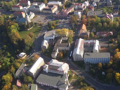
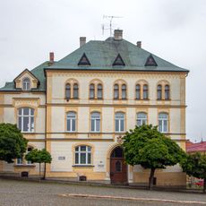
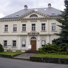
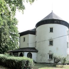
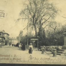
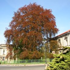
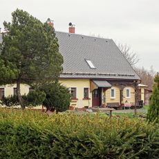
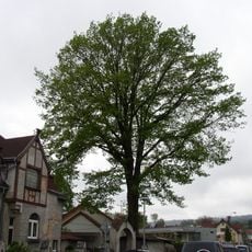
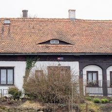
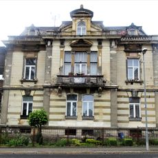
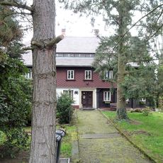
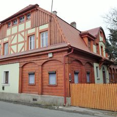
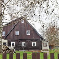
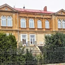
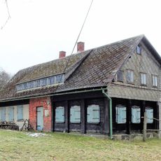
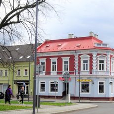
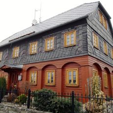
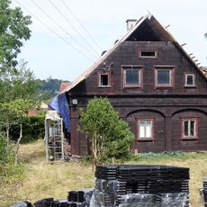
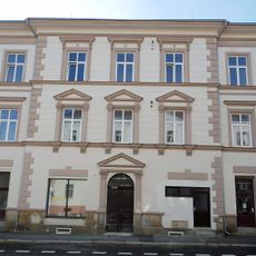
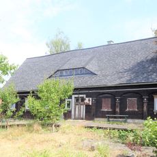
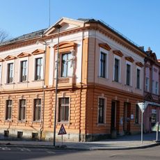
Varnsdorf, Stadtteil der Stadtgemeinde Varnsdorf
Location: Varnsdorf
Part of: II/264 road
GPS coordinates: 50.91161,14.61835
Latest update: March 7, 2025 17:48
Červený kostel
759 m
Church of Saint Charles Borromeo
1.3 km
Church of Saints Peter and Paul in Varnsdorf
151 m
Church of the Transfiguration
971 m
Římskokatolická farnost-děkanství Varnsdorf
158 m
Museum Varnsdorf
755 m
Varnsdorfská hruška
2 km
Finkenhübel
2.3 km
Mlynarska 1080
1.4 km
Topol bílý ve Varnsdorfu
526 m
Konvent oblátů
1.3 km
Topol u varnsdorfského nádraží
2 km
Buk lesní ve Varnsdorfu
513 m
Kamenická 114
717 m
Dub v Kostelní ulici
890 m
Měšťanská 22
788 m
Otáhalova 1207
482 m
5. května 43
592 m
Žižkova 102
668 m
Štursova 252
1.5 km
Vychodni 1771
732 m
Dolní Podluží 15
3.2 km
Melantrichova 1523
21 m
Jizerská 153
1 km
Klostermannova 389
1.3 km
Poštovní 1140
456 m
Klostermannova 392
1.3 km
Národní 1272
73 mReviews
Visited this place? Tap the stars to rate it and share your experience / photos with the community! Try now! You can cancel it anytime.
Discover hidden gems everywhere you go!
From secret cafés to breathtaking viewpoints, skip the crowded tourist spots and find places that match your style. Our app makes it easy with voice search, smart filtering, route optimization, and insider tips from travelers worldwide. Download now for the complete mobile experience.
A unique approach to discovering new places❞
— Le Figaro
All the places worth exploring❞
— France Info
A tailor-made excursion in just a few clicks❞
— 20 Minutes