Chest opened
+${chestReward.xp} XP
Explorer
NOUVEAU ×${chestReward.collectible.quantity}
tapez pour fermer

See the monuments around you in AR Open chests in the app

Around Us is built for your phone — point your camera at the streets and discover the monuments and places around you in augmented reality. Around Us is built for your phone — chests unlock when you walk, explore and capture nearby places.

•

Enable Location

We need your location to show you interesting places around you

Discover nearby places

Find interesting locations and hidden gems around you

Precise directions

Get accurate directions and distances to places

Your location is never shared with other users. It's only used when you tap the location button.

Pytlácké kameny

Log in to your account

Start exploring — it's free

Trusted by 94,458 travelers worldwide

Continue with Google
Continue with Apple
or

We will send you a code to connect

By continuing, you accept our Terms and Conditions and our Privacy Policy

Check your inbox

We've sent a pincode in your inbox. Please enter the code below.

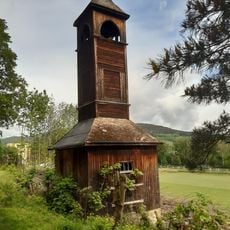
Pytlácké kameny, Rock formation in Ludvíkov, Czech Republic.

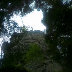
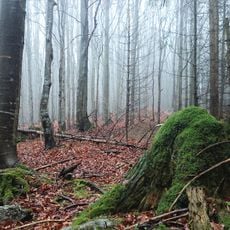
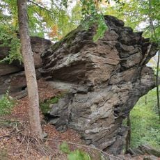
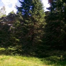
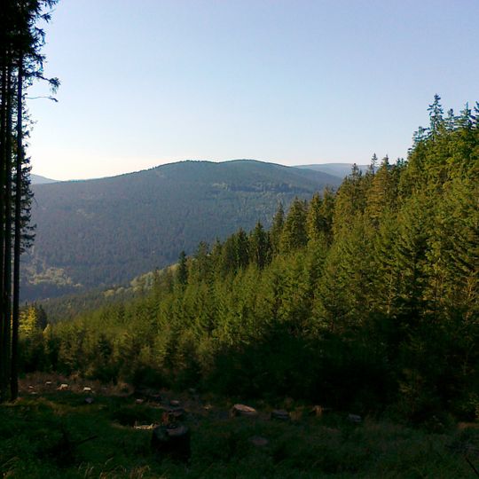
Pytlácké kameny is a 1027 m summit in the Medvědská hornatina range, 4 km southwest of Vrbno pod Pradědem. Its top is a broad rock group about 90 by 60 m, covered with spruce forest and high-mountain grass, with mostly sharp rocks offering little flat standing room. A geodetic point at 1015.31 m lies 80 m northwest of the summit.

The summit was called Plošina in the second half of the 20th century; the German name Machold Platte is also recorded. It is a side summit of Žárový vrch in the Medvědská hornatina range, 4 km southwest of Vrbno pod Pradědem, and its 1027 m height is only slightly above the thousand-metre mark. A geodetic point of 1015.31 m stands about 80 m northwest of the top.

The Czech name Pytlácké kameny means Poacher's Stones; the German name Machold Platte is recorded for the same summit. In the second half of the 20th century the peak was officially called Plošina, a name still used in Polish sources. The summit lies in the Medvědská hornatina, on a side ridge of Žárový vrch.

No marked trail reaches the summit; the easiest approach starts from the edge of Vrbno pod Pradědem or Ludvíkov along Šestková cesta to the Sedlo pod Zámeckou horou saddle, then follows a ridge path that fades around 900 m. A faint cleared strip reappears near 1000 m. The approach from Žárový vrch is easier to follow, descending steeply between rocks to the saddle. Detailed maps are advised.

The summit is a broad rock group about 90 by 60 metres, surrounded by spruce forest and high-altitude grass, with a geodetic point of 1015.31 m about 80 m northwest of the top. The Czech surveying office gives the highest point as 1026.7 m. The peak was called Plošina in the second half of the 20th century.

The community of curious travelers

AroundUs brings together thousands of curated places, local tips, and hidden gems, enriched daily by 94,458 contributors worldwide.
Start exploring
Location
Elevation above the sea
1,027 m
GPS coordinates
50.11572,17.32378
Latest update
October 24, 2026 13:44
Around this place
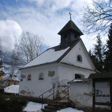
Church of Saint Michael
Czech Republic

Church of Saint Michael

2.5 mi
Chapel of Saint Hedwig
Czech Republic

Chapel of Saint Hedwig

2.6 mi
Přírodní rezervace Skalní potok
Czech Republic

Přírodní rezervace Skalní potok

1.7 mi
Adolf Grohmans villa
Czech Republic

Adolf Grohmans villa

2.1 mi
Cemetery in Vrbno pod Pradědem
Czech Republic

Cemetery in Vrbno pod Pradědem

2.3 mi
Bell tower in Vrbno pod Pradědem
Czech Republic

Bell tower in Vrbno pod Pradědem

2.4 mi
Rolandův kámen
Czech Republic

Rolandův kámen

2.5 mi
Jelení bučina
Czech Republic

Jelení bučina

1.3 mi
Ludvíkovské skalní město
Czech Republic

Ludvíkovské skalní město

0.9 mi
Church of the Visitation of Our Lady (Ludvíkov)
Czech Republic

Church of the Visitation of Our Lady (Ludvíkov)

1.1 mi
Slatina
Czech Republic

Slatina

2.5 mi
Church of the Visitation of Our Lady
Czech Republic

Church of the Visitation of Our Lady

2.9 mi
Myslivecká 162
Czech Republic

Myslivecká 162

2.2 mi
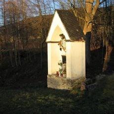
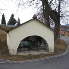
Chapel-shrine in Mnichov (Vrbno pod Pradědem)
Czech Republic

Chapel-shrine in Mnichov (Vrbno pod Pradědem)

2.9 mi
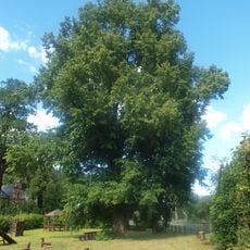
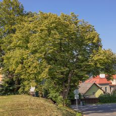
Lípa u zámečku
Czech Republic

Lípa u zámečku

1 mi
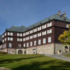
Lázeňský dům Libuše
Czech Republic

Lázeňský dům Libuše

3 mi
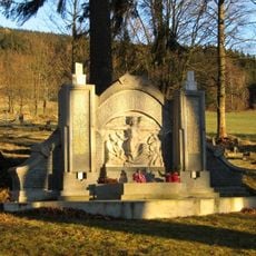
World War I memorial in Mnichov (Vrbno pod Pradědem)
Czech Republic

World War I memorial in Mnichov (Vrbno pod Pradědem)

2.9 mi
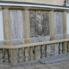
Pomník padlým na jižní straně kostela sv. Michaela ve Vrbně pod Pradědem
Czech Republic

Pomník padlým na jižní straně kostela sv. Michaela ve Vrbně pod Pradědem

2.5 mi
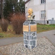
Památník Josefa Lowaga u infocentra v Jesenické ulici ve Vrbně pod Pradědem
Czech Republic

Památník Josefa Lowaga u infocentra v Jesenické ulici ve Vrbně pod Pradědem

2.5 mi
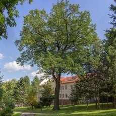
Dub na náměstí sv. Michala
Czech Republic

Dub na náměstí sv. Michala

2.4 mi
Lípa u kapličky pod hřbitovem
Czech Republic

Lípa u kapličky pod hřbitovem

2.4 mi
Cemetery Chapel
Czech Republic

Cemetery Chapel

2.4 mi
Kaplička u hřbitova ve Vrbně pod Pradědem
Czech Republic

Kaplička u hřbitova ve Vrbně pod Pradědem

2.4 mi
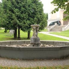
Fountain in Vrbno pod Pradědem
Czech Republic

Fountain in Vrbno pod Pradědem

2.5 mi
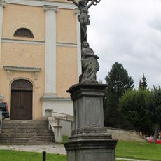
Kříž na náměstí před kostelem sv. Michala ve Vrbně pod Pradědem
Czech Republic

Kříž na náměstí před kostelem sv. Michala ve Vrbně pod Pradědem

2.5 mi
Kaplička Panny Marie u naučné stezky v Karlově Studánce
Czech Republic

Kaplička Panny Marie u naučné stezky v Karlově Studánce

3 mi
Kaple na paměť padlým ve světových válkách u silnice ve středu Ludvíkova
Czech Republic

Kaple na paměť padlým ve světových válkách u silnice ve středu Ludvíkova

1 mi
Kříž před kostelem Navštívení Panny Marie v Mnichově pod Pradědem
Czech Republic

Kříž před kostelem Navštívení Panny Marie v Mnichově pod Pradědem

2.9 mi
Show the full map
Reviews
Share your experience

No review yet

Discussions
Start a discussion...

No discussion yet

« Pytlácké kameny - Rock formation in Ludvíkov, Czech Republic » is provided by Around Us (aroundus.com). Images and texts are derived from Wikimedia project under a Creative Commons license. You are allowed to copy, distribute, and modify copies of this page, under the conditions set by the license, as long as this note is clearly visible.

Discover hidden gems everywhere you go!

From secret cafés to breathtaking viewpoints, skip the crowded tourist spots and find places that match your style. Our app makes it easy with voice search, smart filtering, route optimization, and insider tips from travelers worldwide. Download now for the complete mobile experience.
Around Us App Screenshot
❝

A unique approach to discovering new places❞

— Le Figaro

❝

All the places worth exploring❞

— France Info

❝

A tailor-made excursion in just a few clicks❞

— 20 Minutes

Around Us
Travel Guide & Maps
Download

Send to your phone

QR Code
1

Open the camera app on your mobile.

2

Point at the QR code with your camera. A notification will appear.

3

Tap the notification to open the link.