
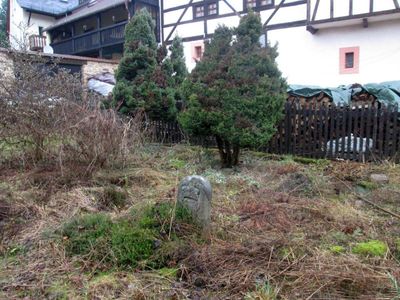
Hraniční kámen v Úterý I, hraniční kámen na území Úterý
Location: Úterý
Part of: political border
GPS coordinates: 49.93996,13.00386
Latest update: March 18, 2025 12:47
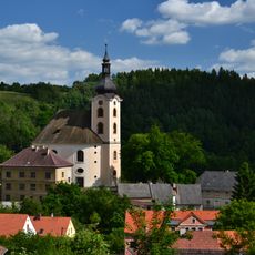
Church of Saint John the Baptist
91 m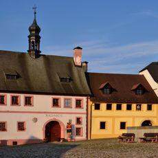
Town hall in Úterý
16 m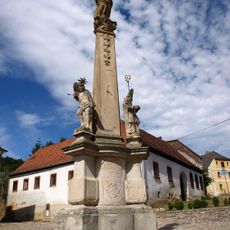
Maria column in Úterý
52 m
Dům čp. 126
38 m
Dům čp. 92
75 m
Turbovna
63 m
Koželužna
96 m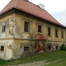
Děkanství
44 m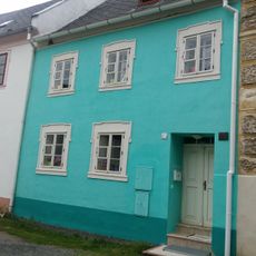
Dům čp. 67
77 m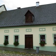
Dům čp. 124
45 m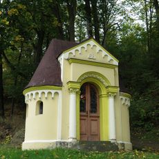
Kaplička
169 m
Dům U jabloně
78 m
Dům čp. 66
84 m
Dům čp. 89
97 m
Dům čp. 9
67 m
Dům čp. 123
61 m
Dům čp. 91
74 m
Kašna
47 m
Dům čp. 2
44 m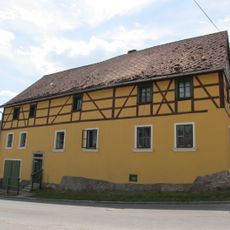
Dům čp. 71
103 m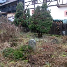
Dva hraniční kameny
16 m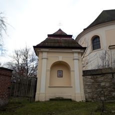
Kaplička v Úterý u kostela
67 m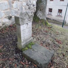
Pomník u kostela v Úterý
120 m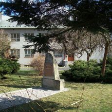
Pomník padlým v Úterý
198 m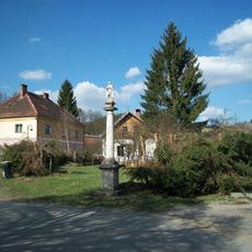
Mariánský sloup v Úterý u křižovatky
196 m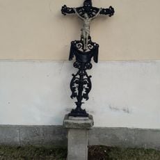
Kříž u kostela v Úterý
111 m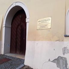
Pamětní deska Kašpara Prokopa Reitenbergra v Úterý
68 m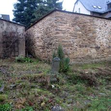
Hraniční kámen v Úterý II
6 mReviews
Visited this place? Tap the stars to rate it and share your experience / photos with the community! Try now! You can cancel it anytime.
Discover hidden gems everywhere you go!
From secret cafés to breathtaking viewpoints, skip the crowded tourist spots and find places that match your style. Our app makes it easy with voice search, smart filtering, route optimization, and insider tips from travelers worldwide. Download now for the complete mobile experience.

A unique approach to discovering new places❞
— Le Figaro
All the places worth exploring❞
— France Info
A tailor-made excursion in just a few clicks❞
— 20 Minutes