
Úterý, town in the Czech Republic
Location: Plzeň-North District
Location: správní obvod obce s rozšířenou působností Nýřany
Elevation above the sea: 485 m
Shares border with: Bezdružice, Teplá, Toužim, Bezvěrov, Ostrov u Bezdružic, Krsy, Blažim
Email: utery@obecni-urad.net
Website: http://mesto-utery.cz
GPS coordinates: 49.94018,13.00424
Latest update: March 15, 2025 20:04
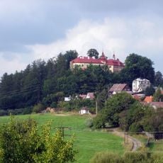
Castle Bezdružice
4.4 km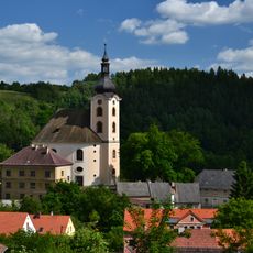
Church of Saint John the Baptist
128 m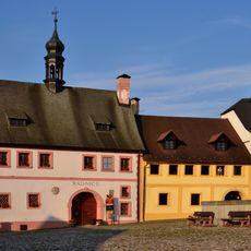
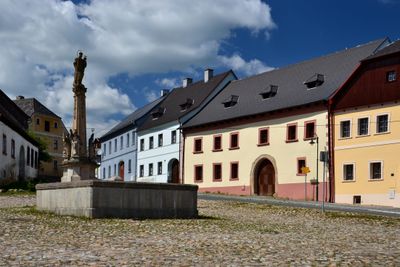
Town hall in Úterý
22 m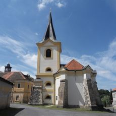
Church of the Assumption of the Virgin Mary
4.3 km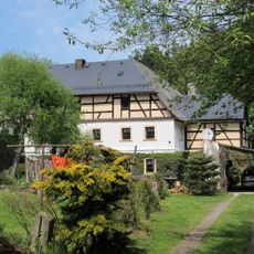
Vodní mlýn
496 m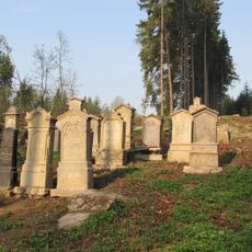
Jewish cemetery in Bezdružice
4.8 km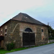
Synagoge
4.4 km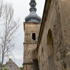
Kostel svatého Martina
2.8 km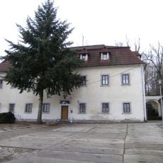
Fara
3.3 km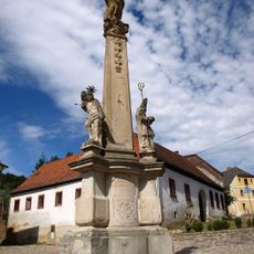
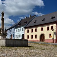
Maria column in Úterý
22 m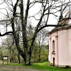
Lípa u kaple v Úterý
362 m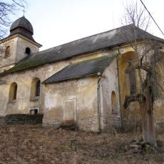
Church of Saint James the Greater
3.3 km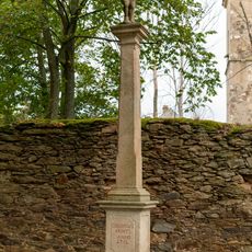
Socha před kostelem v Křivcích
2.8 km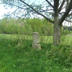
Pomník jihovýchodně od Nové Vísky
4.4 km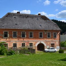
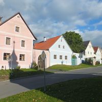
Dům čp. 126
32 m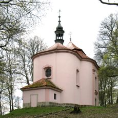
Church of Saint Wenceslaus
344 m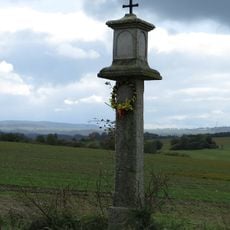
Boží muka
804 m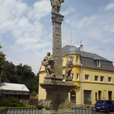
Saint Florian column in Bezdružice
4.4 km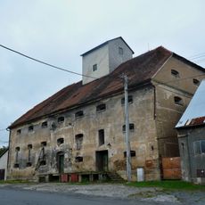
Sýpka
4.2 km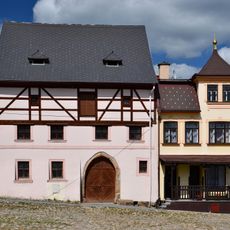
Dům čp. 92
38 m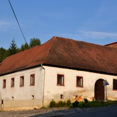
Turbovna
44 m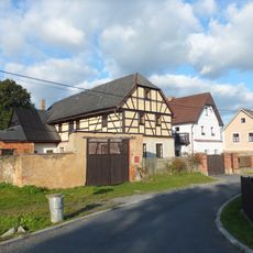
Zemědělský dvůr čp. 29
792 m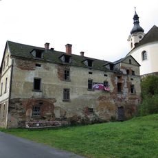
Koželužna
127 m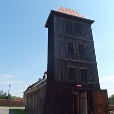
Hasičská zbrojnice Bezdružice
4.3 km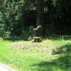
Socha veverky nebo kohouta nebo tak něčeho v Bezdružicích
4.3 km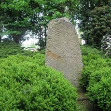
Památník v Bezdružicích
4.3 km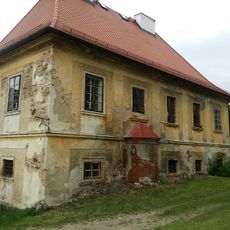
Děkanství
79 m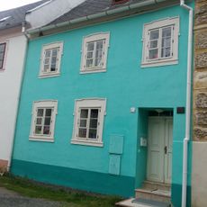
Dům čp. 67
77 mReviews
Visited this place? Tap the stars to rate it and share your experience / photos with the community! Try now! You can cancel it anytime.

Discover hidden gems everywhere you go!
From secret cafés to breathtaking viewpoints, skip the crowded tourist spots and find places that match your style. Our app makes it easy with voice search, smart filtering, route optimization, and insider tips from travelers worldwide. Download now for the complete mobile experience.

A unique approach to discovering new places❞
— Le Figaro
All the places worth exploring❞
— France Info
A tailor-made excursion in just a few clicks❞
— 20 Minutes