Správní obvod obce s rozšířenou působností Nýřany
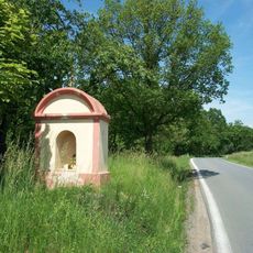
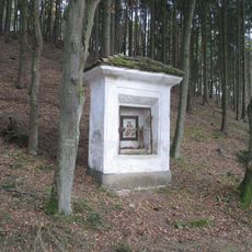
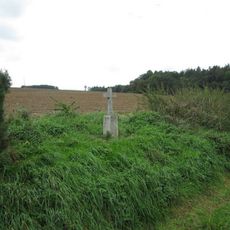
Správní obvod obce s rozšířenou působností Nýřany, Administrative district in Plzeň-North District, Czech Republic
The administrative district centered on Nýřany functions as a local government hub for several surrounding communities in western Bohemia. It encompasses multiple smaller settlements and towns that rely on these administrative services for daily governance and public affairs.
The district was established in 2003 as part of a major restructuring of local government administration across the Czech Republic. This reorganization created new administrative boundaries to improve how public services were delivered in the Plzeň-North region.
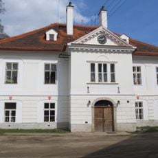
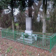
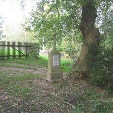
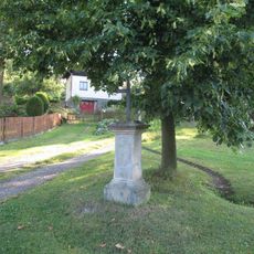
The district maintains administrative offices in Nýřany, where residents participate in municipal activities and access government services through dedicated information boards.
Residents and visitors can access administrative services at the main office in Nýřany and branch locations in other communities within the district. It is helpful to check ahead about specific opening hours and office locations before planning a visit.
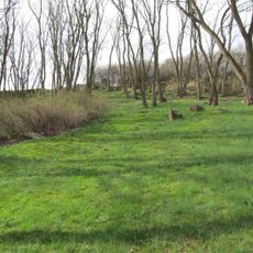
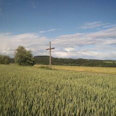
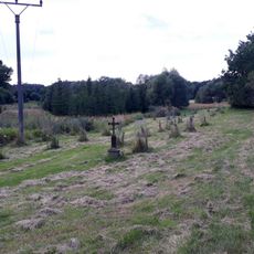
The territory encompasses significant geographical features, including the eastern slope of Stěnský Hill at 751 meters and the convergence of Mže and Berounka rivers.
Location: Plzeň-North District
Inception: January 1, 2003
Capital city: Nýřany
GPS coordinates: 49.80000,13.23333
Latest update: December 14, 2025 18:42
Čeminy
1.3 km
Jewish cemetery in Město Touškov
2.2 km
Socha svatého Jana Nepomuckého
1.4 km
Kaple v Košeticích
2.3 km
Kaple
2.6 km
Pomník rudoarmějce ve Městě Touškov
2.5 km
Památník americké armády ve Městě Touškov
2.5 km
Památník obětem I. a II. odboje ve Městě Touškov
2.5 km
Kaplička
1.4 km
Kříž jižně od Čemin
1.5 km
Kříž v Čeminech před bývalou školou
1.4 km
Kaple ve Městě Touškov v Partyzánské ulici
2.6 km
Kaplička severně od Čemin
1.5 km
Kříž u Města Touškov u cesty do Kumberku
2.6 km
Pomník sestřelených letců v Čeminech
1.4 km
Obrázek západně od Čemin
969 m
Pomník padlým v Čeminech
1.4 km
Kříž západně od Košetic
2.4 km
Kaple u Města Touškov
2.5 km
Kříž severně od Čemin
1.9 km
Kříž v Košeticích
2.4 km
Kříž u rozcestí v Košeticích
2.5 km
Kříž v poli u stromu nad Městem Touškov
1.7 km
Kaplička v Košeticích
2.3 km
Kříž mezi Pískem a Újezdem nade Mží
2.3 km
Kříž jižně od Košetic u Líšťan
1.9 km
Kaplička jižně od Košetic
730 m
Kříž západně od Košetic u Líšťan
2.6 kmVisited this place? Tap the stars to rate it and share your experience / photos with the community! Try now! You can cancel it anytime.
Discover hidden gems everywhere you go!
From secret cafés to breathtaking viewpoints, skip the crowded tourist spots and find places that match your style. Our app makes it easy with voice search, smart filtering, route optimization, and insider tips from travelers worldwide. Download now for the complete mobile experience.
A unique approach to discovering new places❞
— Le Figaro
All the places worth exploring❞
— France Info
A tailor-made excursion in just a few clicks❞
— 20 Minutes