
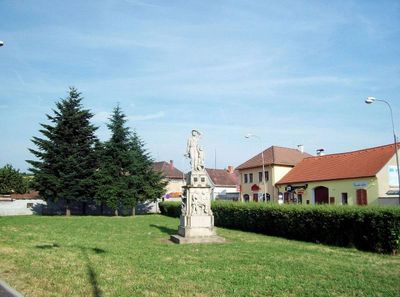
Pomník padlým v Horšovském Týně, tugu peringatan di Republik Ceko
Location: Horšovský Týn
Inception: 1948
Creator: Rudolf Kabeš
Height: 340 cm
Width: 153 cm
GPS coordinates: 49.52676,12.94534
Latest update: March 6, 2025 06:54

Church of Saint Apollinaris
236 m
Statue of John of Nepomuk by the bridge over the Radbuza in Horšovský Týn
244 m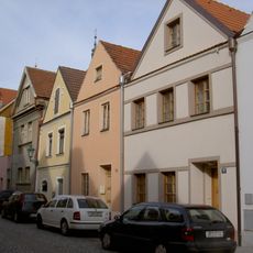
Dům čp. 68
263 m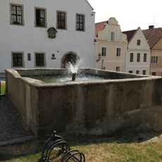
Two fountains in Horšovský Týn
312 m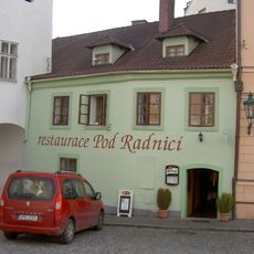
Dům čp. 58
319 m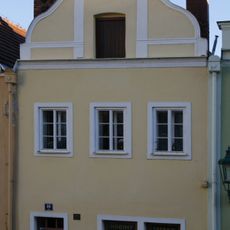
Dům čp. 95
293 m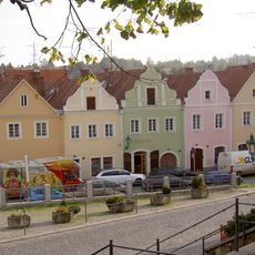
Dům čp. 94
304 m
Dům čp. 71
258 m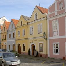
Dům čp. 66
306 m
Dům čp. 70
264 m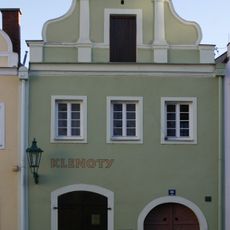
Dům čp. 96
309 m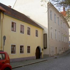
Dům čp. 87
282 m
Dům čp. 64
311 m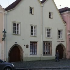
Dům čp. 100
307 m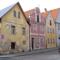
Dům čp. 90
257 m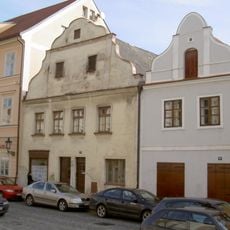
Dům čp. 62
297 m
Dům čp. 63
295 m
Dům čp. 65
296 m
Dvojdům čp. 107
331 m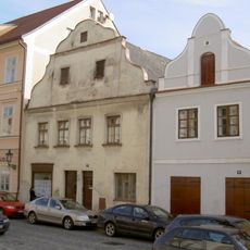
Dům čp. 61
312 m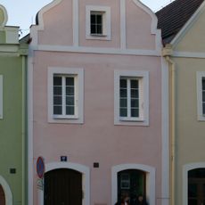
Dům čp. 97
306 m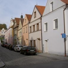
Dům čp. 69
257 m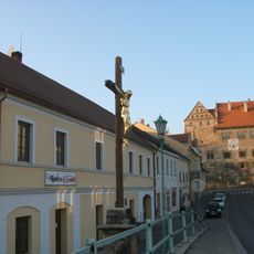
Cross by the bridge over the Radbuza in Horšovský Týn
254 m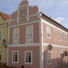
Town house
296 m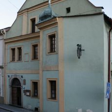
Dvojdům čp. 105
314 m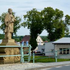
Socha sv. Jana Nepomuckého a krucifix
246 m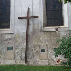
Kříž u Husova náměstí v Horšovském Týně
238 m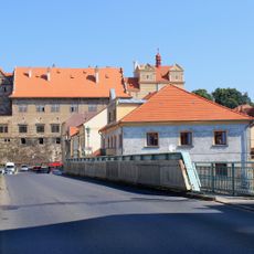
Bridge over the Radbuza in Horšovský Týn
227 mReviews
Visited this place? Tap the stars to rate it and share your experience / photos with the community! Try now! You can cancel it anytime.
Discover hidden gems everywhere you go!
From secret cafés to breathtaking viewpoints, skip the crowded tourist spots and find places that match your style. Our app makes it easy with voice search, smart filtering, route optimization, and insider tips from travelers worldwide. Download now for the complete mobile experience.

A unique approach to discovering new places❞
— Le Figaro
All the places worth exploring❞
— France Info
A tailor-made excursion in just a few clicks❞
— 20 Minutes