Enable Location

We need your location to show you interesting places around you

Discover nearby places

Find interesting locations and hidden gems around you

Precise directions

Get accurate directions and distances to places

Your location is never shared with other users. It's only used when you tap the location button.

Řeporyje

Log in to your account

Start exploring — it's free

Trusted by 61,393 travelers worldwide

Continue with Google
Continue with Apple
or

We will send you a code to connect

By continuing, you accept our Terms and Conditions and our Privacy Policy

Check your inbox

We've sent a pincode in your inbox. Please enter the code below.

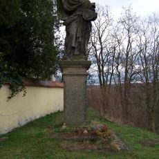
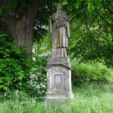
Řeporyje, Cadastral area and municipal district in Prague, Czech Republic

Description

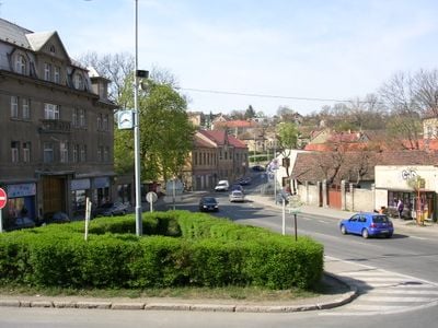
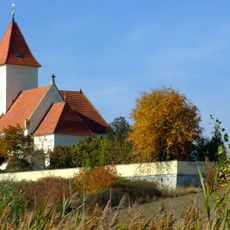
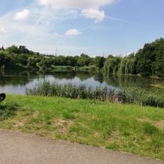
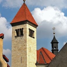
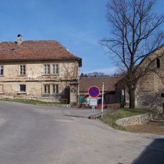
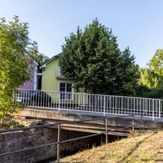
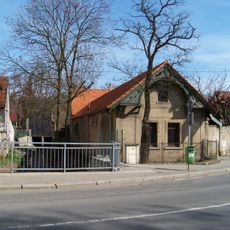
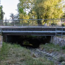
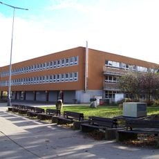
Řeporyje is a municipal district in southwest Prague covering roughly 10 square kilometers alongside the Dalejský potok stream. The western section features an industrial zone with a striking grain silo, while residential and formerly agricultural areas spread across the rest of the territory.

History

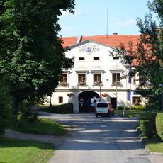
The area was once an independent town-like settlement before becoming part of Prague in 1974. This incorporation ended its autonomous governance and transformed it into a modern district of the Czech capital.

Culture

The area maintains cross-border relationships, particularly with Hostomel in Ukraine, showing how local communities build bridges across Europe. These connections reflect in local initiatives that bring people together across distances.

Practical

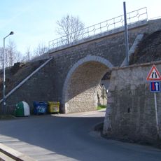
The Praha-Řeporyje railway station offers train connections on the Praha-Rudná-Beroun line and links the district to other parts of the broader region. Visitors can rely on public transportation to move around and reach neighboring districts of Prague.

Did you know?

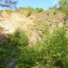
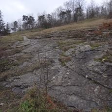
A quarry southwest of the area preserves an important geological boundary that marks the beginning of the Přídolí period in Earth's history. This site holds global significance for geologists, though most visitors walking through the district never notice it exists.

Location
Shares border with
Zadní Kopanina, Slivenec, Holyně, Stodůlky, Třebonice
GPS coordinates
50.03222,14.31250
Latest update
December 8, 2025 13:40

AroundUs brings together thousands of curated places, local tips, and hidden gems, enriched daily by 60,000 contributors worldwide. Discover all places nearby (Prague 13).

Around this place
Show the full map
« Řeporyje - Cadastral area and municipal district in Prague, Czech Republic » is provided by Around Us (aroundus.com). Images and texts are derived from Wikimedia project under a Creative Commons license. You are allowed to copy, distribute, and modify copies of this page, under the conditions set by the license, as long as this note is clearly visible.

Discover hidden gems everywhere you go!

From secret cafés to breathtaking viewpoints, skip the crowded tourist spots and find places that match your style. Our app makes it easy with voice search, smart filtering, route optimization, and insider tips from travelers worldwide. Download now for the complete mobile experience.

Around Us App Screenshot

A unique approach to discovering new places

Le Figaro

All the places worth exploring

France Info

A tailor-made excursion in just a few clicks

20 Minutes

Around Us
Travel Guide & Maps
Download

Send to your phone

QR Code
1

Open the camera app on your mobile.

2

Point at the QR code with your camera. A notification will appear.

3

Tap the notification to open the link.