
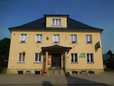
Dolní Branná municipal office, municipal office in Trutnov District
Address: Dolní Branná 256, 543 62 Dolní Branná
Website: http://dbranna.cz
GPS coordinates: 50.59203,15.59343
Latest update: March 5, 2025 14:01
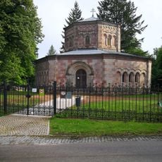
Harrachovská hrobka (Horní Branná)
2.7 km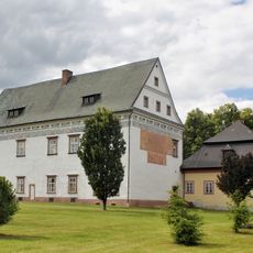
Zámek Horní Branná
2.5 km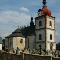
Church of Saint Nicholas
2.7 km
Church of Saint George
209 m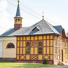
Chapel of Virgin Mary
2.4 km
Harrachovský špitál
2.7 km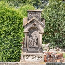
Kříž
1.7 km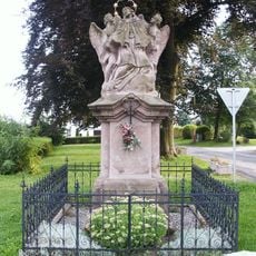
Socha svatého Jana Nepomuckého
2.5 km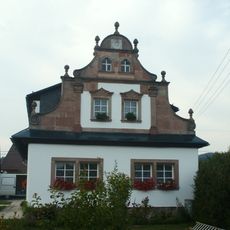
Mandl
2 km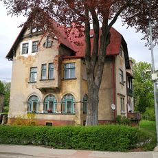
Dolní Branná čp. 208
1.4 km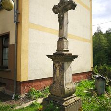
Cross near house no. 124 in Dolní Branná
1.4 km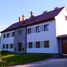
Horní Branná municipal office
2.7 km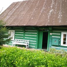
Dolní Branná čp. 179
261 m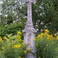
Krucifix
1.6 km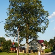
Jilm horský
239 m
World War I memorial in Dolní Branná
202 m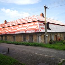
Gamekeeper's lodge
2.3 km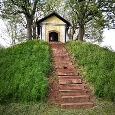
Chapel in Dolní Branná
531 m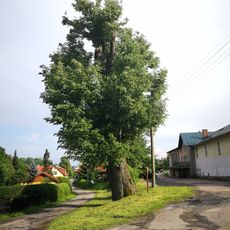
Lípa v Horní Branné
2.3 km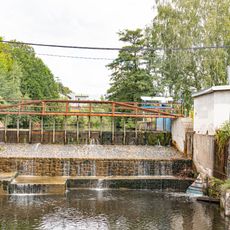
Jez
2.3 km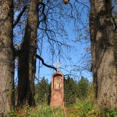
Chapel of Virgin Mary
2.2 km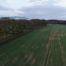
Dubová alej u Zámečku na Podhůří
2.6 km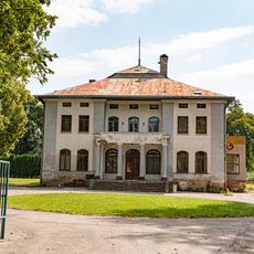
Krönigova vila
2.5 km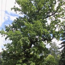
Dub v Horní Branné
2.7 km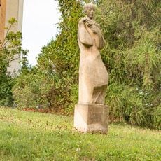
Socha
2.7 km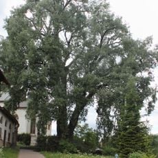
Topol bílý v Horní Branné
2.7 km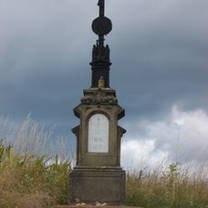
Crucifix in Horní Kalná
2.5 km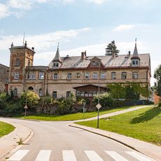
Zámek Podhůří u Vrchlabí
2.4 kmVisited this place? Tap the stars to rate it and share your experience / photos with the community! Try now! You can cancel it anytime.
Discover hidden gems everywhere you go!
From secret cafés to breathtaking viewpoints, skip the crowded tourist spots and find places that match your style. Our app makes it easy with voice search, smart filtering, route optimization, and insider tips from travelers worldwide. Download now for the complete mobile experience.

A unique approach to discovering new places❞
— Le Figaro
All the places worth exploring❞
— France Info
A tailor-made excursion in just a few clicks❞
— 20 Minutes