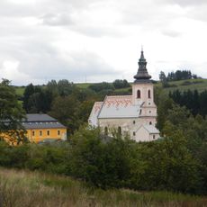
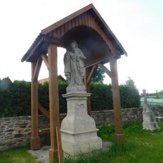
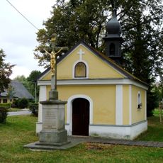
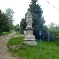
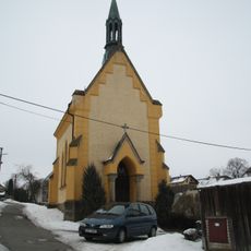
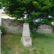
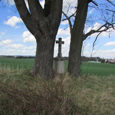
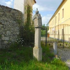
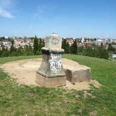
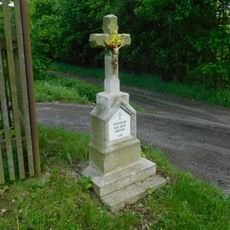
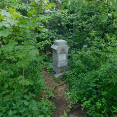
Йиглава, Administrative district in Vysočina Region, Czech Republic
The Jihlava administrative district covers a central area of the Vysočina Region, encompassing numerous municipalities and settlements across its territory.
The Jihlava district was established on January 1, 2003, as part of the Czech Republic's administrative reform to improve regional governance and public services.
The district maintains traditional Czech administrative practices, serving as a connection point between local municipal authorities and the central regional government.
The district office provides essential administrative services to residents, including document processing, permits, and coordination of municipal development programs.
The administrative territory includes underground passages stretching 25 kilometers beneath the surface, forming one of the largest municipal tunnel networks in the country.
Location: Jihlava District
Inception: January 1, 2003
Capital city: Jihlava
GPS coordinates: 49.36667,15.58333
Latest update: March 3, 2025 00:21
Church of Saints Peter and Paul in Rančířov
646 m
Socha svatého Josefa u kostela v Rančířově
625 m
Chapel of the Holy Trinity
2.2 km
Fara
665 m
Maria column and spring U Skalky
2.6 km
Krucifix ve Znojemské ulici
2.4 km
Socha svatého Josefa
349 m
Socha svatého Josefa u odbočky na Rančířov
348 m
Kaple v Čížově
1.6 km
Chapel in Sasov
2.4 km
Kříž u silnice východně od Rančířova
1.4 km
Kříž na Znojemské ulici v Jihlavě
2.4 km
Kříž v zahradě u čp.21 na východním okraji Pístova
2.2 km
Kříž u kostela v Rančířově
661 m
Kříž u bývalých garáží Armády České republiky severně od Pístova
2.3 km
Boží muka u kostela v Rančířově
668 m
Kamenný kříž v jižní části Rančířova
955 m
Kříž na vrchu Tábor nad Pístovem
2.3 km
Kamenný kříž u silničky západně od Rančířova
740 m
Kříž u silničky západně od Rančířova
808 m
Kříž na bývalém popravišti na Krkavčím vrchu v Jihlavě
2.5 km
Kříž před kaplí v Pístově
2.2 km
Kříž v severní části Rančířova
887 m
Kříž v jižní části Rančířova
862 m
Kamenný kříž u silnice jižně od Rančířova
1 km
Kříž jižně od Sasova u zahrádkářské osady
741 m
Kamenný kříž na Znojemské ulici v Jihlavě
2 km
Kříž jihovýchodně od Rančířova u Jihlávky
819 mReviews
Visited this place? Tap the stars to rate it and share your experience / photos with the community! Try now! You can cancel it anytime.
Discover hidden gems everywhere you go!
From secret cafés to breathtaking viewpoints, skip the crowded tourist spots and find places that match your style. Our app makes it easy with voice search, smart filtering, route optimization, and insider tips from travelers worldwide. Download now for the complete mobile experience.
A unique approach to discovering new places❞
— Le Figaro
All the places worth exploring❞
— France Info
A tailor-made excursion in just a few clicks❞
— 20 Minutes