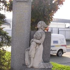
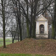
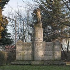
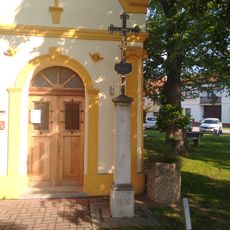
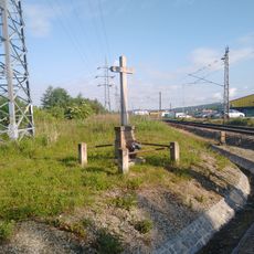
Ческе-Будеёвице, Administrative district in South Bohemia, Czech Republic
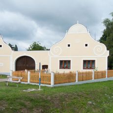
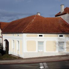
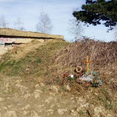
The administrative district of České Budějovice covers a territory in South Bohemia containing about 80 municipalities of varying sizes. The landscape is shaped by the Vltava and Malše rivers, which meet at the regional capital.
The district was created in 2003 as part of a major restructuring of Czech administrative territories. This reform aimed to improve governance and service delivery at the regional level.
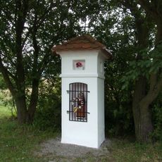
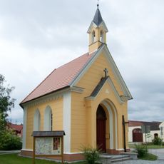
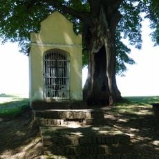
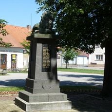
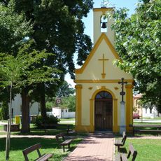
The district serves as a meeting point for people from numerous municipalities seeking administrative assistance and local services. Its role connects urban and rural residents through shared governmental functions and community needs.
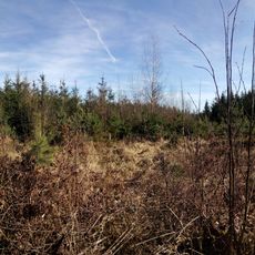
The district stretches across relatively flat terrain, making different areas accessible by car from various starting points. České Budějovice city serves as a natural hub from which to reach other municipalities throughout the region.
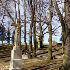
The district boundaries were drawn to follow natural geographic patterns around České Budějovice rather than arbitrary political lines. This arrangement creates a balanced representation of both concentrated urban areas and scattered rural settlements.
The community of curious travelers
AroundUs brings together thousands of curated places, local tips, and hidden gems, enriched daily by 60,000 contributors worldwide.