
Литомержице, Administrative district in northern Bohemia, Czech Republic.
Litoměřice administrative district is an area in northern Bohemia with agricultural fields, forests, and the Milešovka mountain rising above the surroundings. A network of rivers and natural features shapes the structure of this region.
The area became an administrative district in 2003, organizing multiple municipalities under unified governance. This reorganization brought together historically developed communities into a single administrative framework.
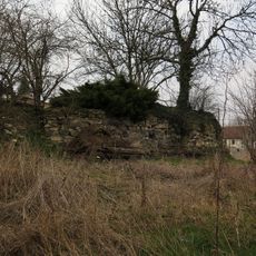
The area is known for its historical castles and religious monuments that shape the local landscape. Visitors can discover these structures while traveling through or on dedicated visits, understanding their importance to regional identity.
The area is connected by the D8 motorway linking major Czech cities, making travel between centers straightforward. The Elbe and Ohře rivers provide additional orientation points when exploring the district.
Žernosecké Lake formed from a former sandstone quarry and is now the largest body of water in the district. This water feature shows how abandoned industrial sites transform into new natural habitats in the landscape.
Location: Litoměřice District
Inception: January 1, 2003
Capital city: Litoměřice
GPS coordinates: 50.55000,14.26667
Latest update: December 14, 2025 18:01
Schloss Giessdorf
2 km
Hořidla (observation tower)
1 km
Farní sbor Českobratrské církve evangelické v Chotiněvsi
673 m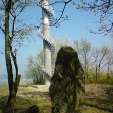
Úštěcká pahorkatina
1 km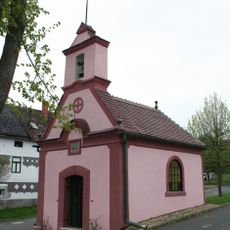
Village chapel
969 m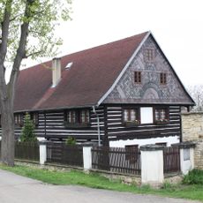
Jištěrpy 20
2 km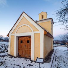
Village chapel (Jištěrpy)
2 km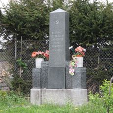
Pomník osvobození v Jištěrpách
2 km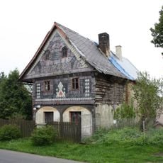
Chotiněves 60
1.2 km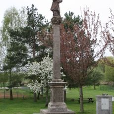
Column in Chotiněves
1.3 km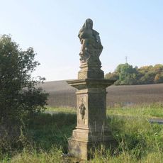
Sousoší Piety
1.6 km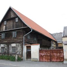
Chotiněves 36
849 m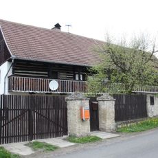
Dům čp. 4
2.3 km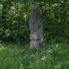
Památník východně od rozhledny Hořidla u Chotíněvsi
1 km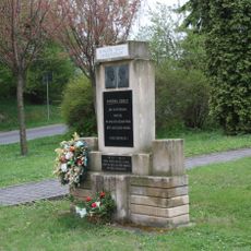
Pomník osvobození u kostela v Chotiněvsi
702 m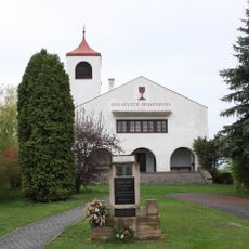
Evangelical church
674 m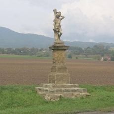
Socha svatého Šebestiána u silnice západně od Liběšic
2.1 km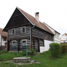
Chotiněves č.e. 2
823 m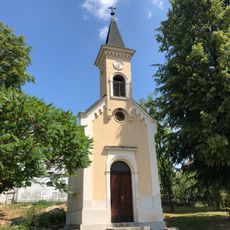
Kaple na návsi v obci Horní Řepčice
1.3 km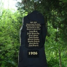
Pomník padlým v Třebutičkách
1.3 km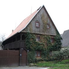
Chotiněves 63
1.1 km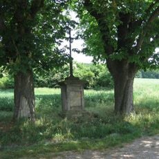
Boží muka u silnice Encovany - Třebutičky
1.5 km
Pomník padlému v 1.světové válce u domu 31 v obci Horní Řepčice
1.4 km
Kříž na rozcestí v Jištěrpách
2 km
Kříž u silnice 15 v obci Horní Řepčice
1.2 km
Podstavec ulomeného kříže u silnice do Chotiněvsi
1.5 km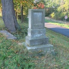
Podstavec kříže na rozcestí jižně od obce Horní Řepčice
1.1 km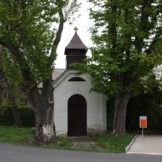
Kaplička ve středu obce Třebutičky
1.3 kmVisited this place? Tap the stars to rate it and share your experience / photos with the community! Try now! You can cancel it anytime.
Discover hidden gems everywhere you go!
From secret cafés to breathtaking viewpoints, skip the crowded tourist spots and find places that match your style. Our app makes it easy with voice search, smart filtering, route optimization, and insider tips from travelers worldwide. Download now for the complete mobile experience.

A unique approach to discovering new places❞
— Le Figaro
All the places worth exploring❞
— France Info
A tailor-made excursion in just a few clicks❞
— 20 Minutes