
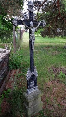
Wayside cross, religious monument in Rožnov, České Budějovice, Czechia
Location: České Budějovice
GPS coordinates: 48.95440,14.47729
Latest update: November 11, 2025 06:57
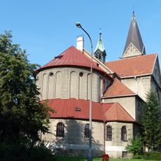
Church of Saint John of Nepomuk
1 km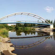
Footbridge
947 m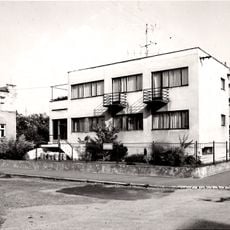
Rodinný dům Aloise Zimmermanna
1.1 km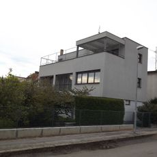
Vila JUDr. Františka Švece
1 km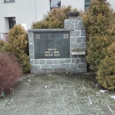
Pomník v Rožnově
1.1 km
Usedlost čp. 1128
1 km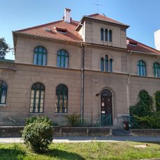
Fara u svatého Jana
1.1 km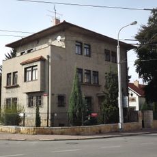
B. Němcové 52
948 m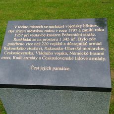
Plaque of military cemetery
392 m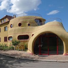
Roudenská 523/31
647 m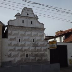
Sýpka u čp. 1123
1 km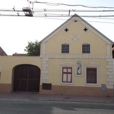
Usedlost čp. 1124
1.1 km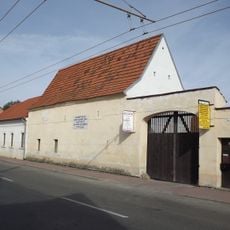
Špýchar u čp. 1131
989 m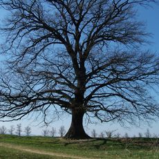
Novoroudenský dub
1 km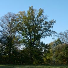
Dub U Špačků
397 m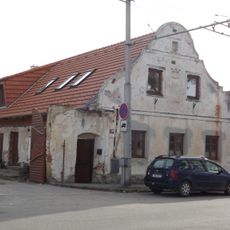
Usedlost čp. 1266
1.1 km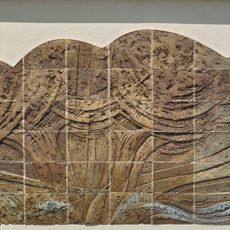
Relief on Jednota residence, Lidická 1625/156
642 m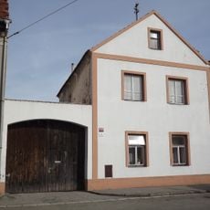
Usedlost čp. 1243
1 km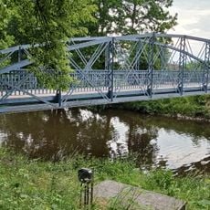
Footbridge over the Malše in Rožnov
370 m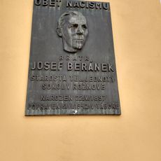
Pamětní deska Josefa Beránka Rožnov
860 m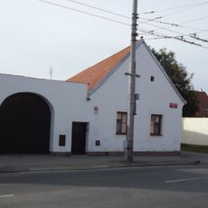
Usedlost čp. 1268
1.1 km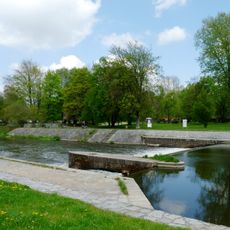
Malý jez
725 m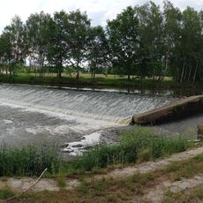
Velký jez
241 m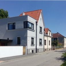
Beránkovo nábř.
835 m
Na Nábřeží
1.1 km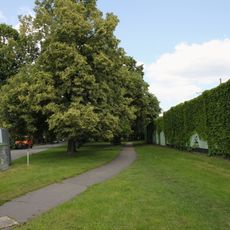
Jungmannův park
556 m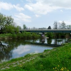
Železniční most přes Malši v Českých Budějovicích
594 m
Work of art
985 mReviews
Visited this place? Tap the stars to rate it and share your experience / photos with the community! Try now! You can cancel it anytime.
Discover hidden gems everywhere you go!
From secret cafés to breathtaking viewpoints, skip the crowded tourist spots and find places that match your style. Our app makes it easy with voice search, smart filtering, route optimization, and insider tips from travelers worldwide. Download now for the complete mobile experience.

A unique approach to discovering new places❞
— Le Figaro
All the places worth exploring❞
— France Info
A tailor-made excursion in just a few clicks❞
— 20 Minutes