Náučny chodník Píšť, Educational trail in Píšť, Czech Republic.
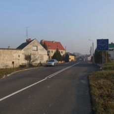
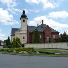
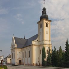
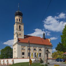
Naučná stezka Píšť is a linear educational trail, 4.5 km long, built in 2010. It starts in the centre of Píšť by the Church of St Lawrence at the park sundial and heads north and northwest out of the village into open fields, running as far as the spot called Hůrky, where the local agricultural cooperative and a water tower stand.
The trail was built in 2010 as a linear route of 4.5 km, starting in the centre of Píšť by the church of St Lawrence and the park sundial and heading north and northwest out of the village into the fields. It runs across farmland to the spot called Hůrky, the trail's best viewpoint, where the local agricultural cooperative and a water tower stand.
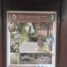
The seven information boards are written in Czech, Polish, English and German, reflecting the trail's position on the Czech-Polish border near the village of Píšť. The route starts by the church of St. Lawrence in the village centre, beside a park sundial.
The trail is linear, 4.5 km long, and starts in the centre of Píšť by the church of St Lawrence at the park sundial, heading north and northwest out of the village into the fields. It ends near Hůrky, where the local agricultural cooperative and a water tower stand and the view is best. Seven information boards give text in Czech, Polish, English and German.
The trail's best viewpoint is at Hůrky, where a local agricultural cooperative and a water tower stand; the route runs from the sun clock by St. Lawrence's Church in Píšť out through the fields. Seven information boards line the 4.5 km path, with texts in Czech, Polish, English and German.
The community of curious travelers
AroundUs brings together thousands of curated places, local tips, and hidden gems, enriched daily by 92,949 contributors worldwide.