
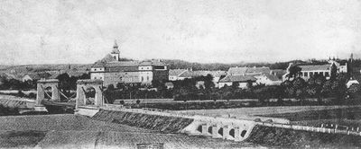
Inundační most v Postoloprtech - část III
Inundační most v Postoloprtech - část III, pětiobloukový kamenný most na pravém břehu Ohře u Postoloprt, blíže řece
Location: Skupice
Part of: Inundation bridge in Postoloprty
GPS coordinates: 50.35491,13.70656
Latest update: September 23, 2025 16:46
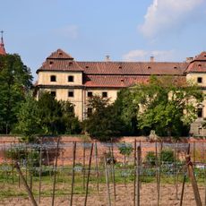
Postoloprty Castle
594 m
Drahúš
1.1 km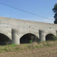
Inundation bridge in Postoloprty
478 m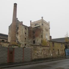
Postoloprty Brewery
595 m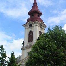
Church of the Assumption
693 m
Březno (hill fort)
1.1 km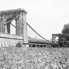
Chain bridge in Postoloprty
241 m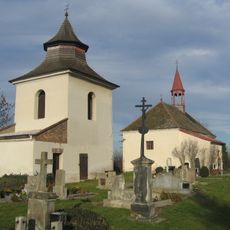
Church of Saint John the Baptist
1.1 km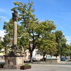
Maria column in Postoloprty
744 m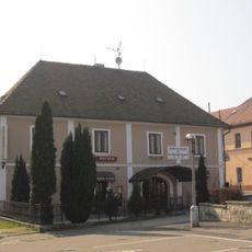
Zájezdní hostinec
720 m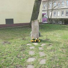
Pomník u plavecké haly v Postoloprtech
924 m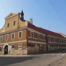
Bývalá radnice
826 m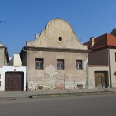
Alšova 43
693 m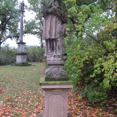
Socha svatého Jana Nepomuckého
1.2 km
Kašna
735 m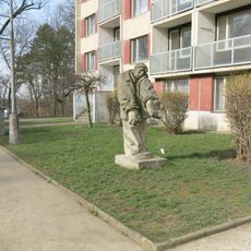
Socha dělníka v Palackého ulici v Postoloprtech
1.2 km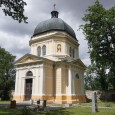
Chapel of the Assumption of the Virgin Mary
1.3 km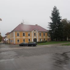
Budova čp. 3
748 m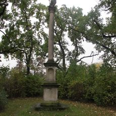
Sloup se sochou svatého Václava
1.2 km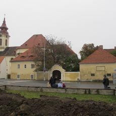
Rectory
687 m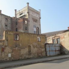
Alšova 40
649 m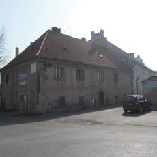
Dům čp. 9
676 m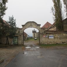
Farmhouse
777 m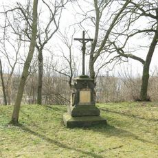
Kříž před hřbitovem v Postoloprtech
1.2 km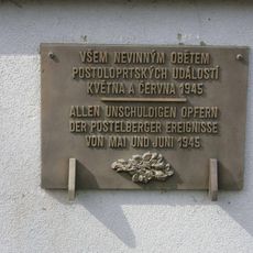
Pamětní deska obětem z května a června 1945
1.3 km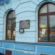
Pamětní deska Pomocných technických praporů na domě 96 v Postoloprtech
896 m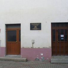
Pamětní deska Ludwiga Freunda na domě 76 v Postoloprtech
855 m
Bell tower in Skupice
1.1 kmReviews
Visited this place? Tap the stars to rate it and share your experience / photos with the community! Try now! You can cancel it anytime.
Discover hidden gems everywhere you go!
From secret cafés to breathtaking viewpoints, skip the crowded tourist spots and find places that match your style. Our app makes it easy with voice search, smart filtering, route optimization, and insider tips from travelers worldwide. Download now for the complete mobile experience.

A unique approach to discovering new places❞
— Le Figaro
All the places worth exploring❞
— France Info
A tailor-made excursion in just a few clicks❞
— 20 Minutes