
Railway bridge near Hamrštejn, most z Liberce-Machnína do Chrastavy-Andělské Hory
Location: Andělská Hora
Location: Machnín
GPS coordinates: 50.78786,14.96977
Latest update: March 6, 2025 12:31
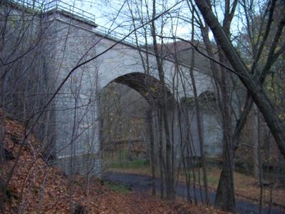

Hamrštejn
229 m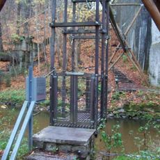
Transporter bridge near Hamrštejn
31 m
Church of Our Lady of the Snow
1.5 km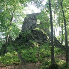
Hamrštejn
232 m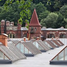
Feigl & Widrich factory in Chrastava
2.4 km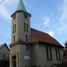
Church of the Sacred Heart
1.7 km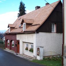
Andělská Hora 30
1.6 km
Socha svatého Jana Nepomuckého naproti domu Ještědská 592 v Chrastavě
2.5 km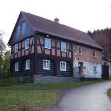
Andělská Hora 90
1.6 km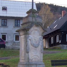
Cross at the common in Andělská Hora
1.7 km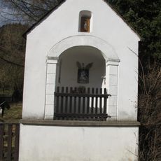
Chapel of Saint Mary of Help
2.7 km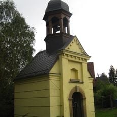
Chapel in Bedřichovka
2.2 km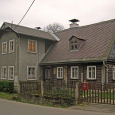
Kryštofovo Údolí 41
2.7 km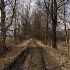
Alej v Machníně
1.1 km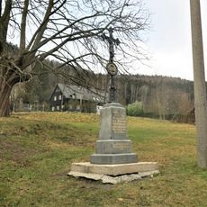
Kříž naproti domu 13 v Andělské Hoře
1.8 km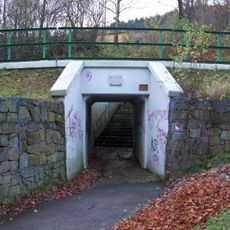
Underpass under railway line in Andělská Hora
1.8 km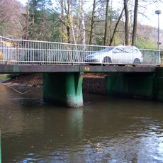
Most přes Lužickou Nisu do Kolonky v Andělské Hoře
298 m
Machnínská lípa
1.6 km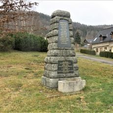
World War I memorial in Andělská Hora
1.7 km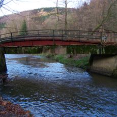
Most v Andělské Hoře ke Kolonce
1.2 km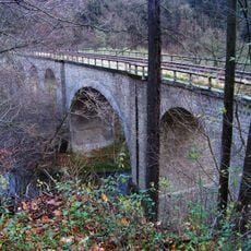
Machnín Viaduct
620 m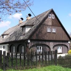
Českolipská ev. č. 1
2.2 km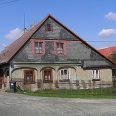
Českolipská 2
2.2 km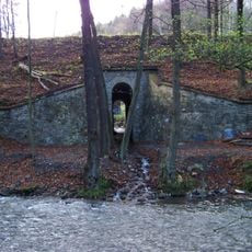
Propustek pod silnicí a železnicí v jižní části Andělské Hory
1.3 km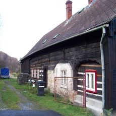
Andělská Hora 7
1.8 km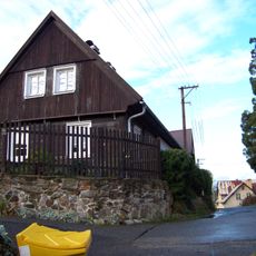
Andělská Hora 21
1.5 km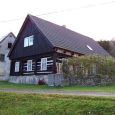
Andělská Hora 79
1.7 km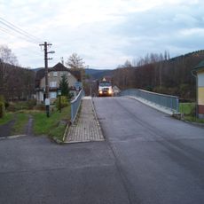
Bridge Chrastava - Andělská Hora
2 kmReviews
Visited this place? Tap the stars to rate it and share your experience / photos with the community! Try now! You can cancel it anytime.
Discover hidden gems everywhere you go!
From secret cafés to breathtaking viewpoints, skip the crowded tourist spots and find places that match your style. Our app makes it easy with voice search, smart filtering, route optimization, and insider tips from travelers worldwide. Download now for the complete mobile experience.

A unique approach to discovering new places❞
— Le Figaro
All the places worth exploring❞
— France Info
A tailor-made excursion in just a few clicks❞
— 20 Minutes