
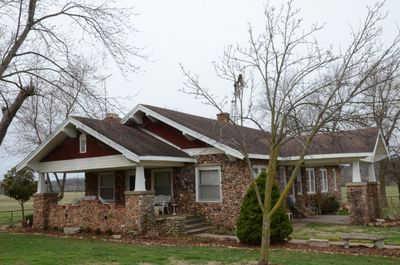
Rife Farmstead, historic house in Arkansas, United States
Location: Benton County
Architectural style: bungalow
GPS coordinates: 36.26940,-94.26580
Latest update: September 23, 2025 15:10
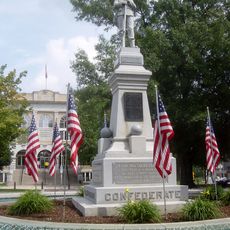
Bentonville Confederate Monument
12.6 km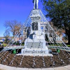
Walmart Museum
12.6 km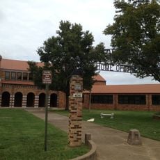
Old High Middle School
12.5 km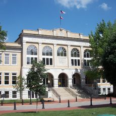
Benton County Courthouse
12.6 km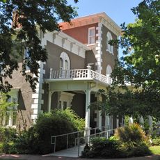
Col. Samuel W. Peel House
11.8 km
Lillard-Sprague House
7.2 km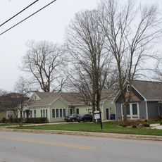
Bentonville Third Street Historic District
12.3 km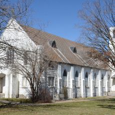
St. Joseph Catholic Church
10.5 km
Craig-Bryan House
12.4 km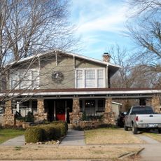
Linebarger House
12.3 km
Mt. Hebron M.E. Church South and Cemetery
6.4 km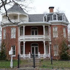
Elliott House
12.4 km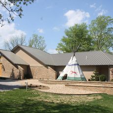
The Museum of Native American History
11.8 km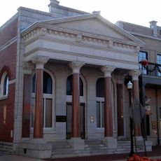
Benton County National Bank
12.5 km
Col. Young House
12.5 km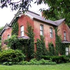
Bentonville West Central Avenue Historic District
12.3 km
Alden House
2.4 km
Maxwell-Hinman House
12.2 km
James House
6.7 km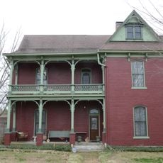
James A. Rice House
12.3 km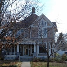
Jackson House
12.4 km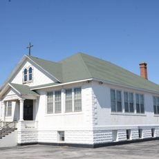
Tontitown School Building
10.7 km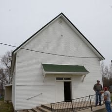
Council Grove Methodist Church
1.4 km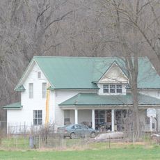
Piercy Farmstead
478 m
Henry–Thompson House
12.5 km
McCleod House
9.1 km
Gailey Hollow Farmstead
12.3 km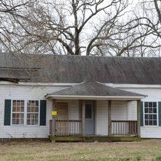
Morris House
11.9 kmReviews
Visited this place? Tap the stars to rate it and share your experience / photos with the community! Try now! You can cancel it anytime.
Discover hidden gems everywhere you go!
From secret cafés to breathtaking viewpoints, skip the crowded tourist spots and find places that match your style. Our app makes it easy with voice search, smart filtering, route optimization, and insider tips from travelers worldwide. Download now for the complete mobile experience.

A unique approach to discovering new places❞
— Le Figaro
All the places worth exploring❞
— France Info
A tailor-made excursion in just a few clicks❞
— 20 Minutes