Enable Location

We need your location to show you interesting places around you

Discover nearby places

Find interesting locations and hidden gems around you

Precise directions

Get accurate directions and distances to places

Your location is never shared with other users. It's only used when you tap the location button.

Roanoke Rapids Historic District

Log in to your account

Start exploring — it's free

Trusted by 62,043 travelers worldwide

Continue with Google
Continue with Apple
or

We will send you a code to connect

By continuing, you accept our Terms and Conditions and our Privacy Policy

Check your inbox

We've sent a pincode in your inbox. Please enter the code below.

Roanoke Rapids Historic District, Historic district in Roanoke Rapids, North Carolina.

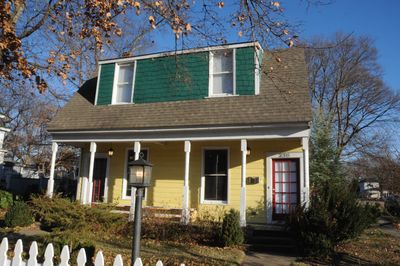
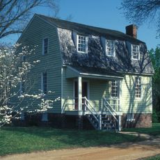
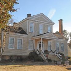
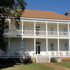
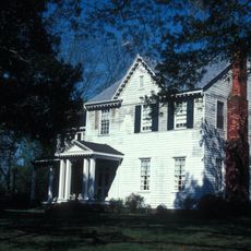
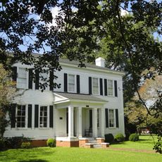
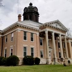
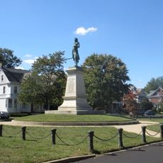
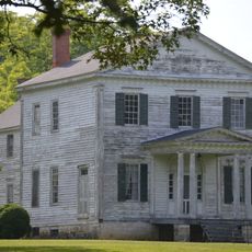
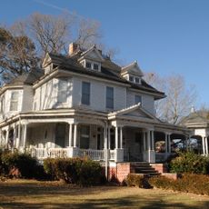
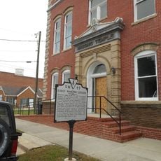
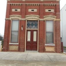
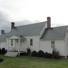
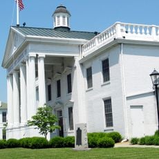
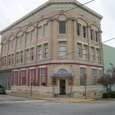
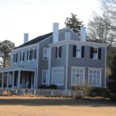
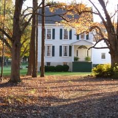
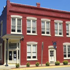
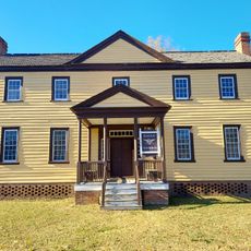
Roanoke Rapids Historic District is a neighborhood with more than 1,100 buildings displaying styles from the early 1900s, including Queen Anne, Colonial Revival, and American Craftsman designs. The buildings stretch from the Roanoke River to Charlotte Street and include factory complexes, workers' homes, and public buildings.

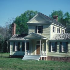
The district grew during the early 1900s when the textile industry boomed and factory owners built homes for their workers. Key buildings like the Seaboard Air Line Passenger Station from 1917 mark the peak of this growth period.

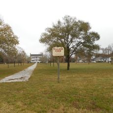
The district reflects the town's roots as a mill town, with buildings arranged to show how workers lived close to their factories and workplaces. Walking through the streets, you can see how daily life centered on the textile mills that shaped this community.

The district is best explored on foot to see the different building styles and understand how the mill villages were organized. Jefferson Street is a good main path to follow as it runs through the entire area.

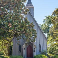
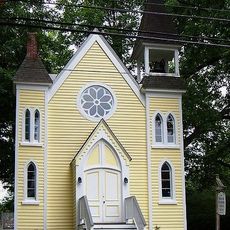
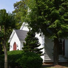
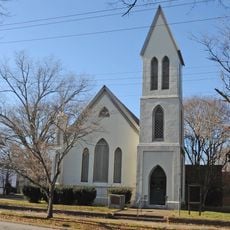
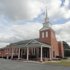
One highlight is the All Saints Episcopal Church built in 1917, a notable architectural achievement by renowned designer Hobart Upjohn. The building shows craftsmanship and quality that stands out from most other structures in the district.

The community of curious travelers

AroundUs brings together thousands of curated places, local tips, and hidden gems, enriched daily by 60,000 contributors worldwide.

Start exploring
Location
GPS coordinates
36.46060,-77.65640
Latest update
December 14, 2025 18:03
Around this place
Lake Gaston
United States of America

Lake Gaston

20.8 km
Halifax Historic District
United States of America

Halifax Historic District

15.6 km
The Hermitage
United States of America

The Hermitage

27.8 km
Mowfield
United States of America

Mowfield

18.7 km
William R. Davie House
United States of America

William R. Davie House

15.5 km
Amis-Bragg House
United States of America

Amis-Bragg House

22.5 km
Halifax County Courthouse
United States of America

Halifax County Courthouse

15.6 km
Village View
United States of America

Village View

26.5 km
Washington Avenue Historic District
United States of America

Washington Avenue Historic District

27.9 km
St. Mark's Episcopal Church
United States of America

St. Mark's Episcopal Church

16 km
Sally-Billy House
United States of America

Sally-Billy House

15.8 km
Church of the Immaculate Conception
United States of America

Church of the Immaculate Conception

16.1 km
Oakland
United States of America

Oakland

24.7 km
Church of the Saviour and Cemetery
United States of America

Church of the Saviour and Cemetery

22.4 km
Garysburg United Methodist Church and Cemetery
United States of America

Garysburg United Methodist Church and Cemetery

8.6 km
Weldon Historic District
United States of America

Weldon Historic District

6.6 km
Hicksford-Emporia Historic District
United States of America

Hicksford-Emporia Historic District

27.1 km
St. Alban's Episcopal Church
United States of America

St. Alban's Episcopal Church

23.2 km
Old Merchants and Farmers Bank Building
United States of America

Old Merchants and Farmers Bank Building

26.9 km
Mason-Hardee-Capel House
United States of America

Mason-Hardee-Capel House

13.3 km
Grace Episcopal Church
United States of America

Grace Episcopal Church

6.5 km
Greensville County Courthouse Complex
United States of America

Greensville County Courthouse Complex

27.1 km
Belfield-Emporia Historic District
United States of America

Belfield-Emporia Historic District

27.9 km
Seaboard Historic District
United States of America

Seaboard Historic District

19.4 km
Tillery-Fries House
United States of America

Tillery-Fries House

27.8 km
Edmunds-Heptinstall House
United States of America

Edmunds-Heptinstall House

19 km
Jackson Historic District
United States of America

Jackson Historic District

22.2 km
Halifax State Historic Site
United States of America

Halifax State Historic Site

15.7 km
Show the full map
« Roanoke Rapids Historic District - Historic district in Roanoke Rapids, North Carolina » is provided by Around Us (aroundus.com). Images and texts are derived from Wikimedia project under a Creative Commons license. You are allowed to copy, distribute, and modify copies of this page, under the conditions set by the license, as long as this note is clearly visible.

Discover hidden gems everywhere you go!

From secret cafés to breathtaking viewpoints, skip the crowded tourist spots and find places that match your style. Our app makes it easy with voice search, smart filtering, route optimization, and insider tips from travelers worldwide. Download now for the complete mobile experience.

Around Us App Screenshot

A unique approach to discovering new places

Le Figaro

All the places worth exploring

France Info

A tailor-made excursion in just a few clicks

20 Minutes

Around Us
Travel Guide & Maps
Download

Send to your phone

QR Code
1

Open the camera app on your mobile.

2

Point at the QR code with your camera. A notification will appear.

3

Tap the notification to open the link.