
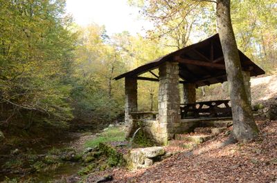
Collier Springs Picnic Area
Collier Springs Picnic Area, Schutzhütte in den Vereinigten Staaten
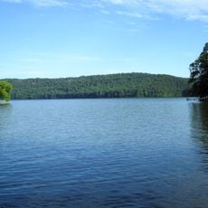
Lake Hamilton and Lake Catherine
46.6 km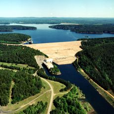
DeGray Lake Resort State Park
48.5 km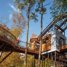
Mid-America Science Museum
43.8 km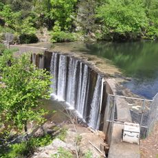
Shady Lake Recreation Area
42.5 km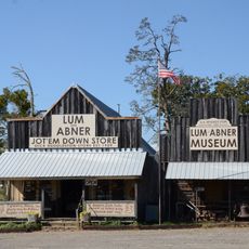
Huddleston Store and McKinzie Store
30.7 km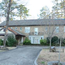
Van Lyell House
46.9 km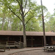
Camp Clearfork
18.6 km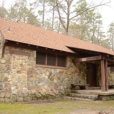
Charlton Recreation Area
19.7 km
Whittington Park Historic District
48.1 km
Bard Springs Bathhouse
39.8 km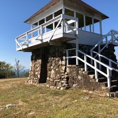
Tall Peak Fire Tower
42.7 km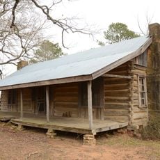
Gillham House
32.5 km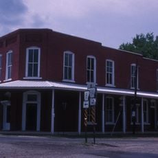
Old Bank of Amity
27.1 km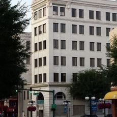
Citizens Building
48.6 km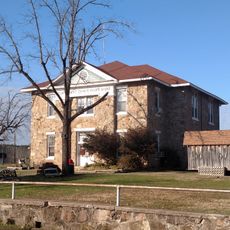
Montgomery County Courthouse
9 km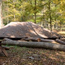
Crystal Campground
4.2 km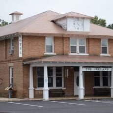
Conway Hotel
47.5 km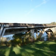
Self Creek Bridge
31.4 km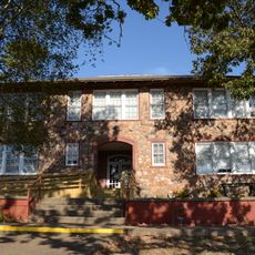
Caddo Valley Academy Complex
8.5 km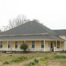
Hodges House
47.1 km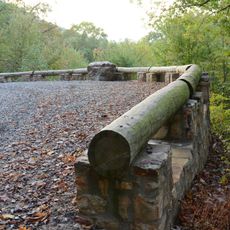
Buckeye Vista Overlook
41.3 km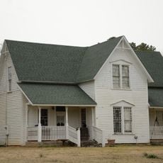
Harley E. Green House
29.8 km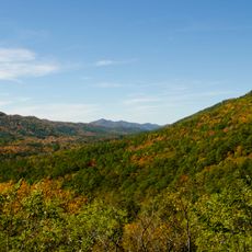
Sugar Creek Vista Overlook
43 km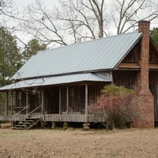
Loy Kirksey House
38.9 km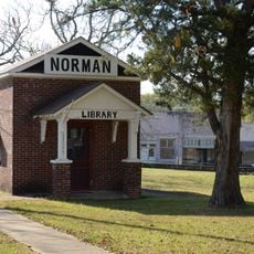
Norman Town Square
8.7 km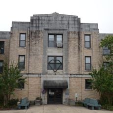
Pike County Courthouse
47.8 km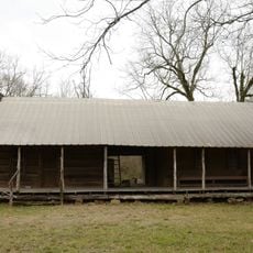
Reeves-Melson House
17.6 km
Womble District Administration House No. 1
6.3 kmReviews
Visited this place? Tap the stars to rate it and share your experience / photos with the community! Try now! You can cancel it anytime.
Discover hidden gems everywhere you go!
From secret cafés to breathtaking viewpoints, skip the crowded tourist spots and find places that match your style. Our app makes it easy with voice search, smart filtering, route optimization, and insider tips from travelers worldwide. Download now for the complete mobile experience.

A unique approach to discovering new places❞
— Le Figaro
All the places worth exploring❞
— France Info
A tailor-made excursion in just a few clicks❞
— 20 Minutes