Shady Lake Recreation Area, Recreational campground in Ouachita National Forest, Arkansas, US
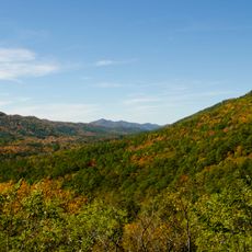
Shady Lake Recreation Area wraps around a crescent-shaped lake surrounded by dense forest. The campground offers roughly 50 sites across multiple loops, with about 19 equipped with water and electricity, plus a fishing pier, showers, and restroom facilities.
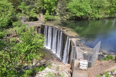
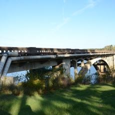
Shady Lake was created in 1940 when the Civilian Conservation Corps built a 130-foot dam across the Saline River. This project was part of a broader effort to develop recreational spaces in the region during that period.
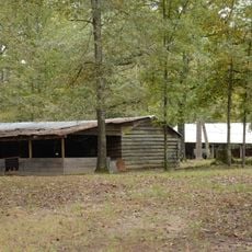
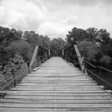
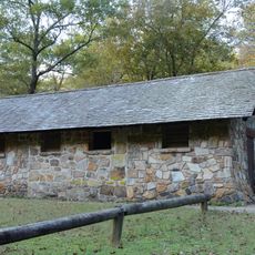
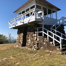
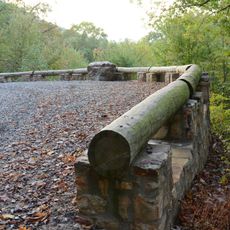
The recreation area preserves several original structures from the 1930s, including a log bathhouse and stone bridges. These buildings still shape how visitors experience the landscape today and reflect construction methods from that era.
The best way to explore the area is on foot along the trails around the lake. Most camping areas are easily accessible, though some sites are positioned on steeper terrain and may require more effort to reach.
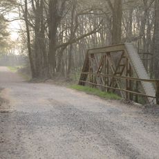
Two stone bridges from the 1930s cross different sections of the landscape and display distinct building styles from that era. One stands out for its stone arch design that spans a metal culvert, creating an interesting contrast between old and modern materials.
The community of curious travelers
AroundUs brings together thousands of curated places, local tips, and hidden gems, enriched daily by 60,000 contributors worldwide.