
Berkley Common Historic District
Berkley Common Historic District, historic district encompassing the historic heart of Berkley, Massachusetts
Location: Berkley
Address: North Main Street South Main Street, Porter Street and Locust Street
GPS coordinates: 41.84611,-71.08194
Latest update: March 3, 2025 01:54

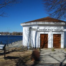
Dighton Rock State Park
4.2 km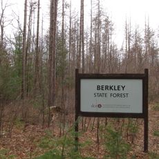
Berkley State Forest
2.3 km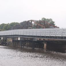
Berkley–Dighton Bridge
2.5 km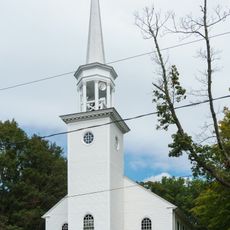
Dighton Community Church
5.1 km
Old Weir Stove Building
4.1 km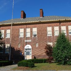
Walker School
4.7 km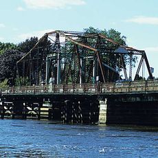
Berkley–Dighton Bridge
2.5 km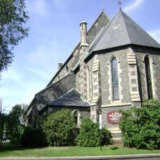
St. Thomas Episcopal Church
5.7 km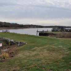
Dighton Wharves Historic District
5.3 km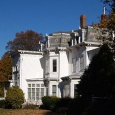
William L. White, Jr. House
5.6 km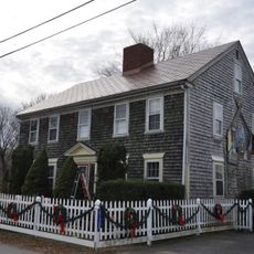
Coram Shipyard Historic District
4.7 km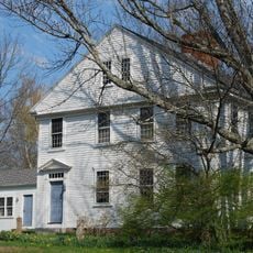
Dean-Barstow House
4.9 km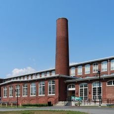
Cohannet Mill No. 3
4.6 km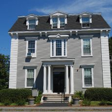
J.C. Bartlett House
5.7 km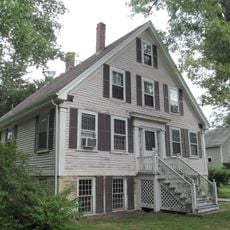
Eldridge House
5.5 km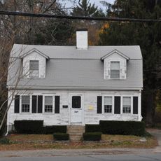
Richard Godfrey House
5.7 km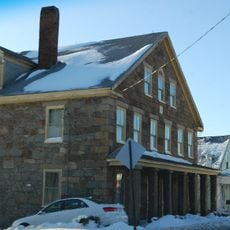
Stone House
4.3 km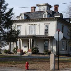
William Lawrence House
5.3 km
Gen. George Godfrey House
5.6 km
Abiathar King Williams House
5.3 km
Capt. David Vickery House
4.3 km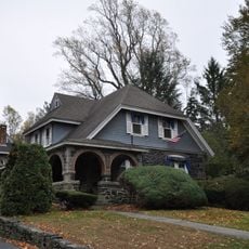
Theodore L. Marvel House
3.8 km
H. P. Thomas House
4.7 km
Peter Walker House
3 km
Alfred Paull House
4.8 km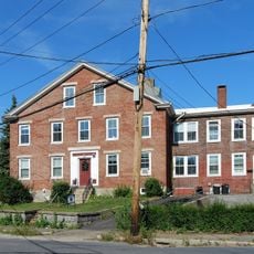
Francis D. Williams House
4.4 km
Sylvanus N. Staples House
4.6 km
Silver City Galliera 10
3.5 kmReviews
Visited this place? Tap the stars to rate it and share your experience / photos with the community! Try now! You can cancel it anytime.
Discover hidden gems everywhere you go!
From secret cafés to breathtaking viewpoints, skip the crowded tourist spots and find places that match your style. Our app makes it easy with voice search, smart filtering, route optimization, and insider tips from travelers worldwide. Download now for the complete mobile experience.

A unique approach to discovering new places❞
— Le Figaro
All the places worth exploring❞
— France Info
A tailor-made excursion in just a few clicks❞
— 20 Minutes