
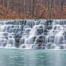
Gray Spring Recreation Area, picnic area with scenic views in the Ozark-St. Francis National Forest of northwestern Arkansas

Devil's Den State Park
33.5 km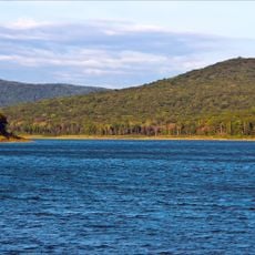
Lake Fort Smith State Park
19.9 km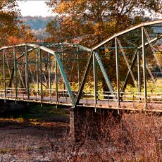
Woolsey Bridge
33.8 km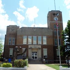
Franklin County Courthouse
21.7 km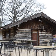
Wiederkehr Wine Cellar
19.4 km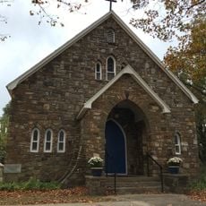
Our Lady of the Ozarks Shrine
21.6 km
Durham School
31.9 km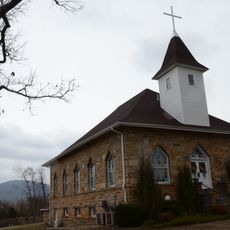
Harmony Presbyterian Church
33 km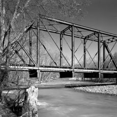
Frog Bayou Bridge
26 km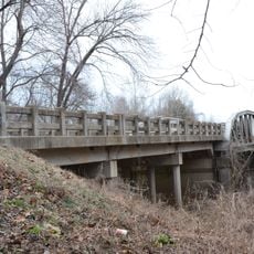
U.S. 64 Horsehead Creek Bridge
37.7 km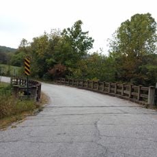
Cannon Creek Bridge
26.3 km
Chester Masonic Lodge and Community Building
24.6 km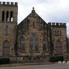
First Methodist Episcopal Church, South
21.6 km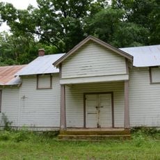
Enterprise School
35.3 km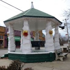
Altus Well Shed-Gazebo
28.1 km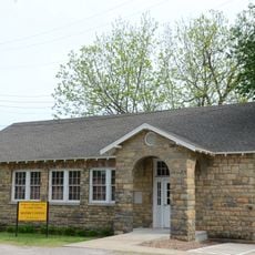
Mulberry Home Economics Building
23.5 km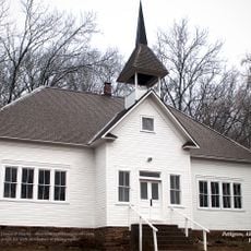
Pettigrew School
28.2 km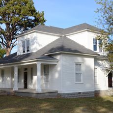
Bryant-Lasater House
22.6 km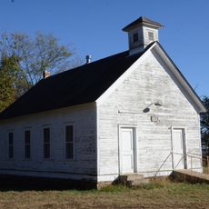
No. 12 School
31.8 km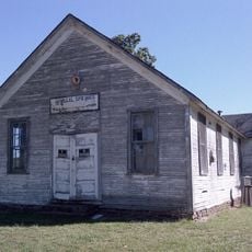
Mineral Springs Community Building
35.3 km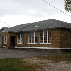
St. Paul School Building
21.1 km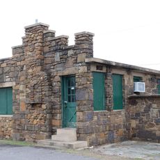
Merle Whitman Tourist Cabin
21.6 km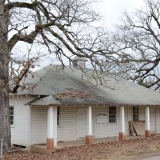
Center Cross School
28.1 km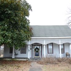
O'Kane-Jacobs House
28.5 km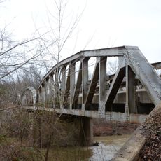
Mulberry River Bridge
6.7 km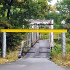
Mulberry River Bridge
19.8 km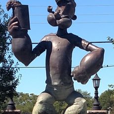
Popeye statue
36 km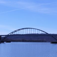
Ozark Bridge
21.9 kmReviews
Visited this place? Tap the stars to rate it and share your experience / photos with the community! Try now! You can cancel it anytime.
Discover hidden gems everywhere you go!
From secret cafés to breathtaking viewpoints, skip the crowded tourist spots and find places that match your style. Our app makes it easy with voice search, smart filtering, route optimization, and insider tips from travelers worldwide. Download now for the complete mobile experience.

A unique approach to discovering new places❞
— Le Figaro
All the places worth exploring❞
— France Info
A tailor-made excursion in just a few clicks❞
— 20 Minutes