Enable Location

We need your location to show you interesting places around you

Discover nearby places

Find interesting locations and hidden gems around you

Precise directions

Get accurate directions and distances to places

Your location is never shared with other users. It's only used when you tap the location button.

Franklin County

Log in to your account

Start exploring — it's free

Trusted by 62,796 travelers worldwide

Continue with Google
Continue with Apple
or

We will send you a code to connect

By continuing, you accept our Terms and Conditions and our Privacy Policy

Check your inbox

We've sent a pincode in your inbox. Please enter the code below.

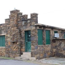
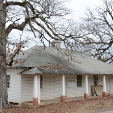
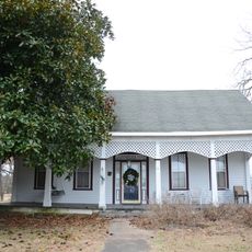
Franklin County, County in western Arkansas, United States

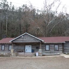
Franklin County is an administrative county in western Arkansas covering rolling farmlands, forested ridges, and scattered mountains separated by the Arkansas River. The landscape includes varied terrain from agricultural areas to thickly wooded hillsides.

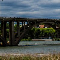
The county was established in 1837 from Crawford County territory and initially required two separate administrative centers. Ozark served the north while Charleston served the south due to river-crossing challenges.

Swiss and German settlers established wineries around Altus, which shaped the county into a significant wine-growing region that remains active today.

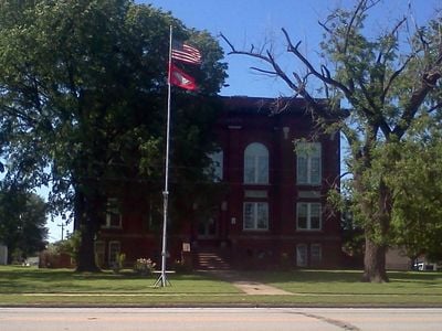
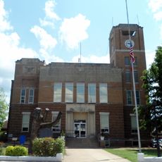
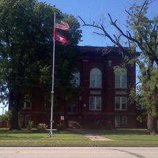
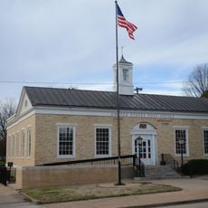
Government offices are located in Ozark on West Commercial Street, providing convenient access to administrative services for county residents. The location serves as the main point for handling official matters and public records.

Arkansas's first oil discovery happened here, and the area holds significant deposits of coal, clay, iron, and shale. These mineral resources shaped economic development for generations.

The community of curious travelers

AroundUs brings together thousands of curated places, local tips, and hidden gems, enriched daily by 60,000 contributors worldwide.

Start exploring
Location
Inception
December 19, 1837
Capital city
Ozark
Shares border with
Madison County, Johnson County, Logan County, Sebastian County, Crawford County
GPS coordinates
35.52083,-93.87583
Latest update
December 10, 2025 16:01
Around this place
Franklin County Courthouse
United States of America

Franklin County Courthouse

5.9 km
Wiederkehr Wine Cellar
United States of America

Wiederkehr Wine Cellar

11.7 km
Evelyn Gill Walker House
United States of America

Evelyn Gill Walker House

28.6 km
Franklin County Courthouse, Southern District
United States of America

Franklin County Courthouse, Southern District

28.9 km
Dr. Stephen N. Chism House
United States of America

Dr. Stephen N. Chism House

34.3 km
First Christian Church
United States of America

First Christian Church

28.8 km
Gray Spring Recreation Area
United States of America

Gray Spring Recreation Area

16.9 km
American Legion Post No. 121 Building
United States of America

American Legion Post No. 121 Building

30.2 km
Paris Post Office
United States of America

Paris Post Office

28.5 km
Saint Anthony's Catholic Church
United States of America

Saint Anthony's Catholic Church

23.1 km
Singleton Family Cemetery
United States of America

Singleton Family Cemetery

31 km
First Methodist Episcopal Church, South
United States of America

First Methodist Episcopal Church, South

5.6 km
Short Mountain Creek Bridge
United States of America

Short Mountain Creek Bridge

26.2 km
Altus Well Shed-Gazebo
United States of America

Altus Well Shed-Gazebo

13.2 km
Park Hill
United States of America

Park Hill

29.6 km
Mulberry Home Economics Building
United States of America

Mulberry Home Economics Building

16.5 km
Old Logan County Jail
United States of America

Old Logan County Jail

28.5 km
Bryant-Lasater House
United States of America

Bryant-Lasater House

16 km
Logan County Courthouse, Eastern District
United States of America

Logan County Courthouse, Eastern District

28.7 km
Tolbert E. Gill House
United States of America

Tolbert E. Gill House

28.6 km
Methodist Episcopal Church, South
United States of America

Methodist Episcopal Church, South

28.5 km
John Gabriel Fort House
United States of America

John Gabriel Fort House

37.2 km
Charleston Commercial Historic District
United States of America

Charleston Commercial Historic District

28.7 km
Paris Commercial Historic District
United States of America

Paris Commercial Historic District

28.7 km
Merle Whitman Tourist Cabin
United States of America

Merle Whitman Tourist Cabin

6 km
Center Cross School
United States of America

Center Cross School

12.2 km
O'Kane-Jacobs House
United States of America

O'Kane-Jacobs House

13.5 km
Mulberry River Bridge
United States of America

Mulberry River Bridge

15 km
Show the full map
Administrative divisions
« Franklin County - County in western Arkansas, United States » is provided by Around Us (aroundus.com). Images and texts are derived from Wikimedia project under a Creative Commons license. You are allowed to copy, distribute, and modify copies of this page, under the conditions set by the license, as long as this note is clearly visible.

Discover hidden gems everywhere you go!

From secret cafés to breathtaking viewpoints, skip the crowded tourist spots and find places that match your style. Our app makes it easy with voice search, smart filtering, route optimization, and insider tips from travelers worldwide. Download now for the complete mobile experience.

Around Us App Screenshot

A unique approach to discovering new places

Le Figaro

All the places worth exploring

France Info

A tailor-made excursion in just a few clicks

20 Minutes

Around Us
Travel Guide & Maps
Download

Send to your phone

QR Code
1

Open the camera app on your mobile.

2

Point at the QR code with your camera. A notification will appear.

3

Tap the notification to open the link.