Chest opened
+${chestReward.xp} XP
Explorer
NOUVEAU ×${chestReward.collectible.quantity}
tapez pour fermer

See the monuments around you in AR Open chests in the app

Around Us is built for your phone — point your camera at the streets and discover the monuments and places around you in augmented reality. Around Us is built for your phone — chests unlock when you walk, explore and capture nearby places.

Enable Location

We need your location to show you interesting places around you

Discover nearby places

Find interesting locations and hidden gems around you

Precise directions

Get accurate directions and distances to places

Your location is never shared with other users. It's only used when you tap the location button.

Ozark

Log in to your account

Start exploring — it's free

Trusted by 85,326 travelers worldwide

Continue with Google
Continue with Apple
or

We will send you a code to connect

By continuing, you accept our Terms and Conditions and our Privacy Policy

Check your inbox

We've sent a pincode in your inbox. Please enter the code below.

Discussion Reviews 1 Photos
24.4k Popularity

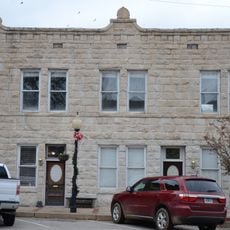
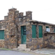
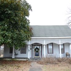
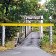
Ozark, County seat in Franklin County, Arkansas, United States

Ozark is a county seat in Franklin County positioned where the land meets the Arkansas River Valley, with the Ozark Mountains forming its northern boundary. The city sits at 124 meters elevation along the river that shapes its terrain.

French explorers named the area Aux Arcs, referring to a bend in the river where Native Americans built settlements during the 1830s. The name was later shortened to Ozark and has remained ever since.

The Missouri Pacific Depot functions as a museum where visitors can see old documents and objects that tell the story of this riverside community. The building shows how rail travel shaped life in this region.

The city sits about 48 miles west of Russellville and 38 miles east of Fort Smith, connected by Interstate 40 and Arkansas Highway 23. These major routes make it easy to reach nearby towns and attractions.

The area serves as an entry point to Arkansas Wine Country with vineyards and wineries in nearby communities like Altus, Wiederkehr Village, and Paris. Visitors can reach several wine producers within a short drive from here.

The community of curious travelers

AroundUs brings together thousands of curated places, local tips, and hidden gems, enriched daily by 60,000 contributors worldwide.
Start exploring
Location
Elevation above the sea
124 m
GPS coordinates
35.49634,-93.83818
Latest update
August 30, 2026 15:07
Around this place
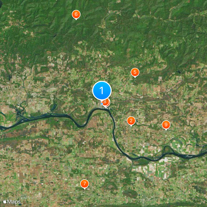
German-American Bank
United States of America

German-American Bank

5.5 mi
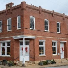
Franklin County Courthouse
United States of America

Franklin County Courthouse

0.9 mi
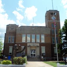
Franklin County Jail
United States of America

Franklin County Jail

1 mi
Wiederkehr Wine Cellar
United States of America

Wiederkehr Wine Cellar

6.1 mi
Gray Spring Recreation Area
United States of America

Gray Spring Recreation Area

12.6 mi
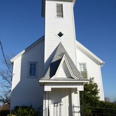
Saint Anthony's Catholic Church
United States of America

Saint Anthony's Catholic Church

12.9 mi
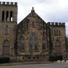
First Methodist Episcopal Church, South
United States of America

First Methodist Episcopal Church, South

0.8 mi
Taylor Hill Hotel
United States of America

Taylor Hill Hotel

10.3 mi
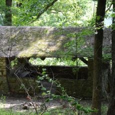
Altus Well Shed-Gazebo
United States of America

Altus Well Shed-Gazebo

5.5 mi
Mulberry Home Economics Building
United States of America

Mulberry Home Economics Building

12.3 mi
Bryant-Lasater House
United States of America

Bryant-Lasater House

12 mi
Bristow Hotel
United States of America

Bristow Hotel

1 mi
United States of America

Tankersley-Stewart House

12.9 mi
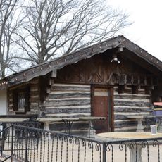
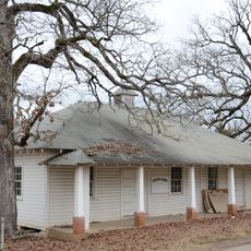
Merle Whitman Tourist Cabin
United States of America

Merle Whitman Tourist Cabin

1 mi
Center Cross School
United States of America

Center Cross School

5 mi
O'Kane-Jacobs House
United States of America

O'Kane-Jacobs House

5.7 mi
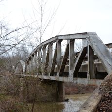
Mulberry River Bridge
United States of America

Mulberry River Bridge

11.7 mi
Mulberry River Bridge
United States of America

Mulberry River Bridge

12.1 mi
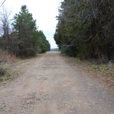
Johnson County Line-Ozark-Crawford County Line Road, Altus Segment
United States of America

Johnson County Line-Ozark-Crawford County Line Road, Altus Segment

3.6 mi
United States of America

Lake Number Sixteen

9.7 mi
United States of America

Ozark Lake

11 mi
United States of America

Train Trestle Falls

12.8 mi
United States of America

Pig Trail Falls

10.4 mi
United States of America

Bingham Hollow Falls

12.6 mi
United States of America

Mineral Spring Falls

11.9 mi
United States of America

Legos Falls

12.4 mi
United States of America

Shower Chair Falls

12.1 mi
United States of America

Horsehead Creek Falls

12.7 mi
Show the full map
Reviews
Share your experience

No review yet

Discussions
Start a discussion...

No discussion yet

« Ozark - County seat in Franklin County, Arkansas, United States » is provided by Around Us (aroundus.com). Images and texts are derived from Wikimedia project under a Creative Commons license. You are allowed to copy, distribute, and modify copies of this page, under the conditions set by the license, as long as this note is clearly visible.

Discover hidden gems everywhere you go!

From secret cafés to breathtaking viewpoints, skip the crowded tourist spots and find places that match your style. Our app makes it easy with voice search, smart filtering, route optimization, and insider tips from travelers worldwide. Download now for the complete mobile experience.

Around Us App Screenshot

A unique approach to discovering new places

Le Figaro

All the places worth exploring

France Info

A tailor-made excursion in just a few clicks

20 Minutes

Around Us
Travel Guide & Maps
Download

Send to your phone

QR Code
1

Open the camera app on your mobile.

2

Point at the QR code with your camera. A notification will appear.

3

Tap the notification to open the link.