Middle East, Geographic region in Southwest Asia and North Africa
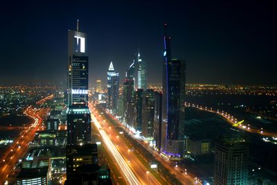
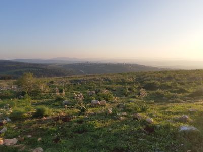
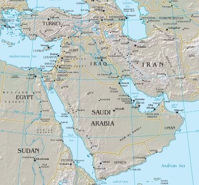
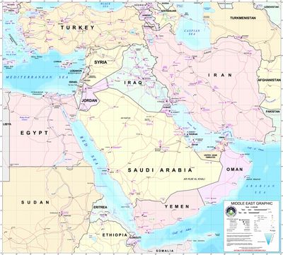
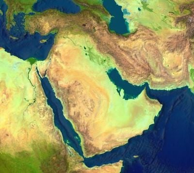
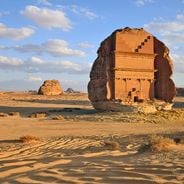
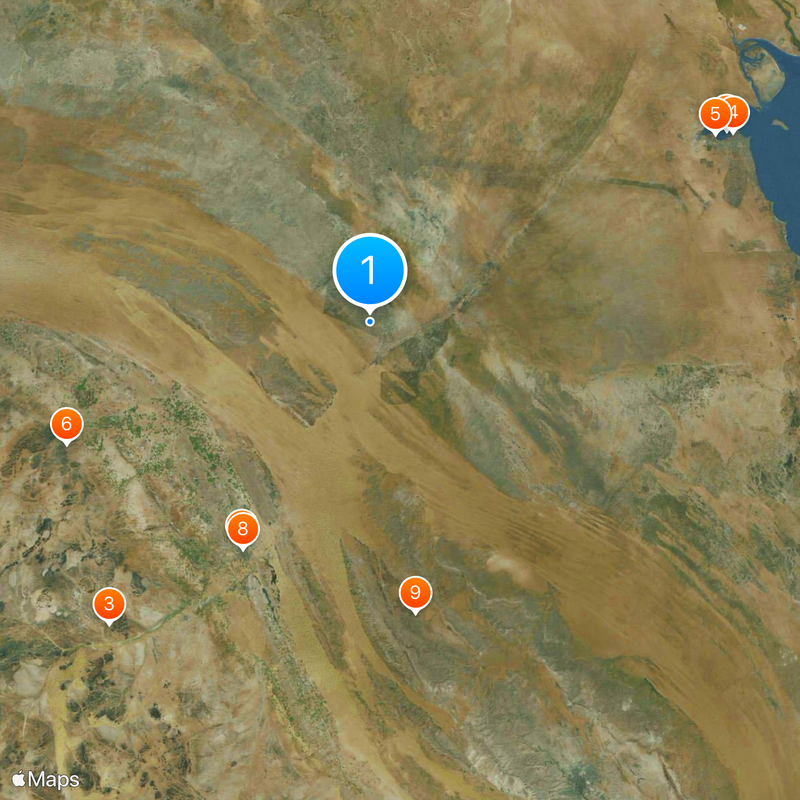
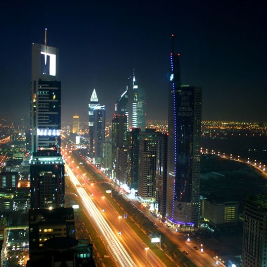
This region stretches from the Mediterranean coast to the Persian Gulf, covering desert expanses, mountain ranges, river valleys, and coastal strips across Southwest Asia and North Africa. Cities alternate with oases, sandy plains, and fertile lowlands, while mountain landscapes shape the northern and eastern horizons.
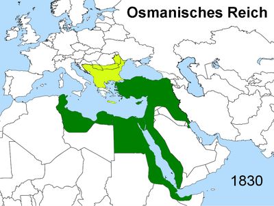
The name took shape during the mid-1800s when British strategists mapped territories between India and Europe for easier reference. Over the following decades, colonial agreements and later independence movements carved out the borders travelers recognize today.
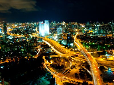
Markets, teahouses, and mosques blend with newer neighborhoods as families gather for meals and show hospitality to strangers arriving at their doors. Music traditions, from Arabic chants to Persian rhythms, echo through streets during celebrations and daily routines alike.
Climate ranges from mild coastal strips to hot desert zones and cooler mountain areas, depending on which part you visit. Political situations and entry rules differ from country to country, so checking access requirements before departure helps avoid surprises at borders.
The Dead Sea between Israel and Jordan holds so much salt that swimmers float without trying, bobbing on the surface like corks. In parts of the desert, travelers find fossils from ancient seabeds, reminders that water once covered large areas now dry.
The community of curious travelers
AroundUs brings together thousands of curated places, local tips, and hidden gems, enriched daily by 91,989 contributors worldwide.