Sundaland, Geographic region in Southeast Asia
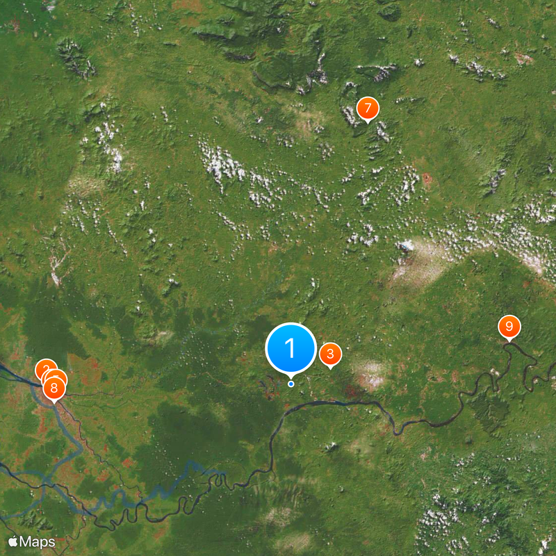
Sundaland describes a broad geographic area that takes in parts of Malaysia, Indonesia, Brunei and Singapore, including the Malay Peninsula, Sumatra and Borneo. This area now covers several land and sea zones that once formed a single connected plain.
Around 18,000 years ago a continuous landmass linked the present-day islands and peninsulas because sea levels were much lower. When the glaciers melted, water rose and split the area into the shapes we know today.
The geographic name comes from geological research referring to the broad shallow shelf now beneath the sea. Trade routes across this area have connected coastal towns for centuries and shaped the exchange of goods, languages and ways of life among the islands.
The climate remains hot and humid throughout the year with frequent rainfall especially during the monsoon season from May to October. Travelers should bring light, breathable clothing along with protection from rain and sun.
Numerous rivers and wetlands across this area follow ancient valleys that guided animals and humans over long distances before sea levels rose. Some animal species live only on one island and are absent from neighboring landmasses even though the distance is small.
The community of curious travelers
AroundUs brings together thousands of curated places, local tips, and hidden gems, enriched daily by 60,000 contributors worldwide.