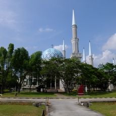
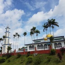
Mount Pulai, Mountain summit in Kulai District, Malaysia.
Mount Pulai is a summit in the Kulai District of southern Peninsular Malaysia, rising to around 654 meters above sea level. The mountain is covered in tropical forest and crossed by a hiking trail of about 6 kilometers that leads from the base to the top.
During World War II, British Commonwealth forces built tunnels and an airfield on the mountain to defend against a Japanese advance through the Malay Peninsula. These structures remain as traces of the role the site played during the conflict.
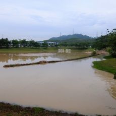
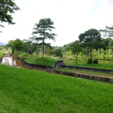
Mount Pulai gives its name to the Pulai River, which rises on its slopes and flows through the Kulai, Johor Bahru and Pontian districts. Villagers near the mountain have long lived with the river's floods; they counted up to 75 between 1986 and 2021, including the mud flood of 26 December 2001 that killed five people and destroyed four houses.
The trail through the forest to the summit requires solid footwear and enough water for a full return trip, as there are no facilities along the way. Starting early in the morning is a good idea, since the heat builds up through the day and the path can be slippery after rain.
The three telecommunication towers on the mountain use a troposcatter system, which bounces signals off the troposphere to cover distances far beyond what standard towers can reach. Thanks to this technology, the towers link not only parts of Malaysia but also Singapore and some Indonesian islands.
The community of curious travelers
AroundUs brings together thousands of curated places, local tips, and hidden gems, enriched daily by 93,000 contributors worldwide.