Malaysia–Thailand border, International border in Southeast Asia.
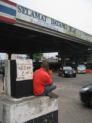
The Malaysia-Thailand border stretches roughly 640 kilometers across the Malay Peninsula, connecting the Strait of Malacca to the Gulf of Thailand. Nine permanent crossing points handle daily movement between the countries, with the Sadao checkpoint processing particularly high volumes of travelers and cargo.
The 1909 treaty between Britain and Siam established the current border line, dividing territories between British Malaya and the Kingdom of Siam. This boundary has remained stable for over a century and continues to define both nations today.
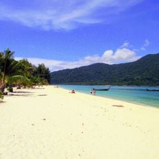
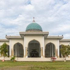
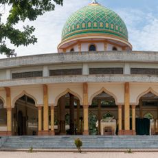
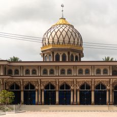
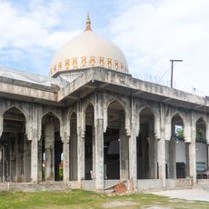
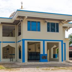
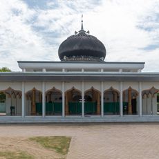
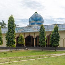
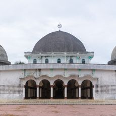
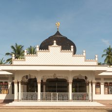
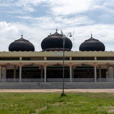
The border zone links four Malaysian states with four Thai provinces, fostering exchange between Malay and Thai communities. People on both sides share similar daily rhythms and economic activities that shape encounters at crossing points.
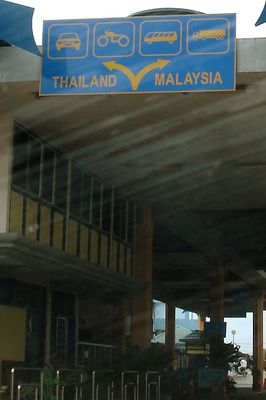
The nine crossing points allow both pedestrians and vehicles to cross with relatively straightforward procedures, though facilities vary by location. Planning ahead about which checkpoint suits your route and checking road conditions helps ensure a smoother crossing experience.
The Golok River forms roughly 95 kilometers of natural boundary on the eastern section, while other areas feature a 2.5 meter (8 feet) wall. This mix of natural and constructed barriers shows how the border adapts to local geography.
The community of curious travelers
AroundUs brings together thousands of curated places, local tips, and hidden gems, enriched daily by 60,000 contributors worldwide.