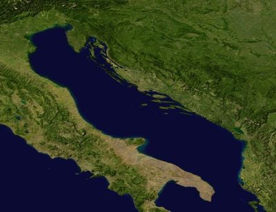
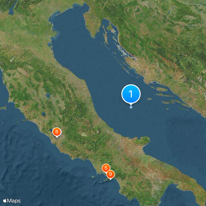
Adriatic Sea, Sea between Italian and Balkan peninsulas, Italy and Croatia
The Adriatic extends 800 kilometers from the Mediterranean Sea to the Po Valley, reaching 1,324 meters at its deepest point. The Croatian eastern coast is lined with more than 1,300 parallel islands that form passages and waterways, while the Italian western shore is flatter and more open.
Ancient Romans took control of the Adriatic by the 2nd century BC, linking their settlements through maritime trade routes across its waters. Later, Venetian merchants dominated the eastern stretch for centuries, shaping the port cities with architecture and trade routes still visible today.
Fishermen along the Croatian coast still set their nets using methods passed down through generations, navigating between the parallel island chains that give the water its characteristic pattern. These waters remain a stage for local traditions, where families use their boats as generations before them did and harbors serve as gathering places for talk about catches and weather.
The northeast bora wind and southeast sirocco wind influence navigation patterns, with tidal movements reaching about one meter throughout the year. Visitors should expect shifting conditions, as weather along the coasts varies widely depending on the season and local winds.
The sea collects one third of all fresh water entering the Mediterranean, resulting in lower salinity levels than surrounding waters. Rivers like the Po contribute to the reduction and create conditions that attract marine life more commonly found in brackish zones.
The community of curious travelers
AroundUs brings together thousands of curated places, local tips, and hidden gems, enriched daily by 60,000 contributors worldwide.