39th parallel north, Circle of latitude in Northern Hemisphere, Earth.
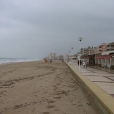
The 39th parallel north is an imaginary line running across approximately 15 countries on three continents, including the United States, Spain, Italy, Turkey, Iran, and Japan. This line marks a fixed position on Earth and is used for geographic reference, mapping, and navigation purposes.
During the 1800s, this parallel served as a key reference for defining territorial boundaries as the United States expanded westward. It was used as a natural dividing line for surveying and establishing political borders between newly settled regions.
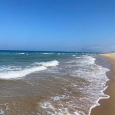
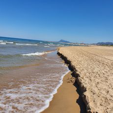
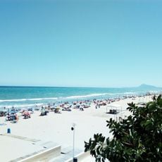
Communities along this line share similar seasonal rhythms and agricultural traditions, from Mediterranean lifestyles to Great Plains farming culture. The comparable climate at this latitude shapes how people in these distant regions approach food, farming, and daily life in remarkably similar ways.
Locations at this latitude experience comparable daylight hours, with longer days in summer and shorter ones in winter across all regions. Understanding this can help travelers plan activities and adjust to local seasons when visiting places along this line.
Lake Tahoe sits precisely where this parallel meets the 120th meridian west, creating a special spot that marks California's eastern boundary. This double coordinate intersection makes it a notable location for those interested in geography and natural borders.
The community of curious travelers
AroundUs brings together thousands of curated places, local tips, and hidden gems, enriched daily by 60,000 contributors worldwide.