Tolors reservoir, Reservoir in Syunik Province, Armenia
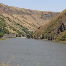
Tolors reservoir lies about 3 km south of Sisian, at the confluence of the Sisian and Ayri rivers at roughly 1,650 m elevation. It is 4.5 km long, covers 4.7 km², averages 32 m deep (maximum 56.5 m) and holds 96.8 million m³. Its 178 m long, 68 m high dam is built of gravel and cobble with a sandy-clay core.
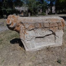
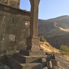
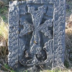
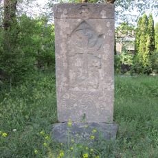
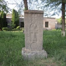
The area beneath the reservoir was once a populated town that was covered by water due to flooding and construction projects over time. Columns of an old church and carved stone inscriptions that remain visible underwater tell the story of the settlement that once thrived here.
Tolors reservoir is fed by the Sisian and Ayri rivers and supplies the Shamb and Tatev hydroelectric plants, part of the Vorotan cascade. Its water is also drawn for irrigation, about 3 million m³. The reservoir was commissioned in 1976, and the dam is a gravel-pebble embankment with a sandy-clay core, 178 m long and up to 68 m high.
The hike to the reservoir starts through green fields and pine forests with gentle slopes and fresh air, making it accessible for most visitors. Small trails lead to viewpoints overlooking the water and submerged ruins, providing good spots to rest, sit quietly, or take photographs.
The water level of the reservoir changes seasonally, revealing more or less of the submerged church columns and carved stone inscriptions depending on the amount of water present. This shifting visibility of the ruins beneath creates a different experience with each visit and adds a sense of discovery to the place.
The community of curious travelers
AroundUs brings together thousands of curated places, local tips, and hidden gems, enriched daily by 92,798 contributors worldwide.