Trevelin, Welsh heritage municipality in Chubut Province, Argentina.
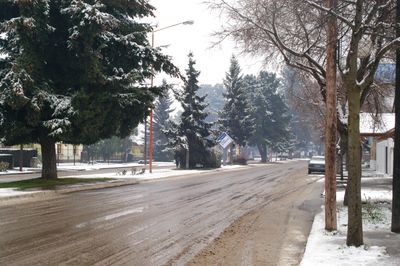
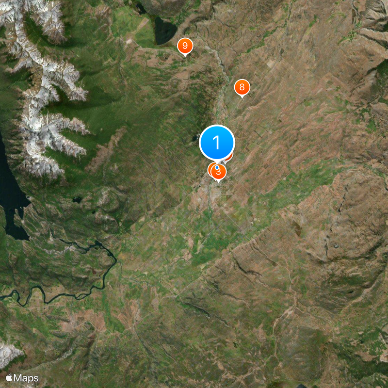
Trevelin is a municipality in western Patagonia situated at 385 meters elevation near the Percy River, surrounded by mountains and fertile valleys. The town developed around this geographic setting, offering connections to the surrounding natural landscapes.
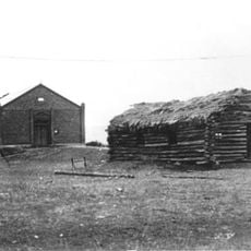
Settlement began in 1888 when Welsh immigrants arrived to build a new community and establish milling operations in the region. The founding of the Los Andes mill in 1891 marked an important step in the area's economic development.
Welsh customs remain visible in the local architecture, family-run tea houses, and celebration practices that blend European and South American traditions. The way residents honor these roots shows how immigrant communities can shape a place for generations.
The town sits 22 kilometers south of Esquel and connects via Route 259, which also leads toward Los Alerces National Park. This road connection makes it a practical base for exploring the wider region.
The area contains a tulip field within the Nant & Fall Natural Protected Area that produces flower displays each October. This unexpected floral show in a mountain setting draws visitors looking for colorful natural scenes.
The community of curious travelers
AroundUs brings together thousands of curated places, local tips, and hidden gems, enriched daily by 60,000 contributors worldwide.