Chest opened
+${chestReward.xp} XP
Explorer
NOUVEAU ×${chestReward.collectible.quantity}
tapez pour fermer
Chest locked

Open chests in the app

Around Us is built for your phone — chests unlock when you walk, explore and capture nearby places.

Enable Location

We need your location to show you interesting places around you

Discover nearby places

Find interesting locations and hidden gems around you

Precise directions

Get accurate directions and distances to places

Your location is never shared with other users. It's only used when you tap the location button.

Andes

Log in to your account

Start exploring — it's free

Trusted by 72,882 travelers worldwide

Continue with Google
Continue with Apple
or

We will send you a code to connect

By continuing, you accept our Terms and Conditions and our Privacy Policy

Check your inbox

We've sent a pincode in your inbox. Please enter the code below.

Discussion Reviews 23 Photos
1 M Popularity

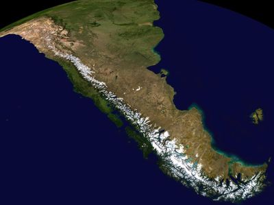
Andes, Mountain range in western South America

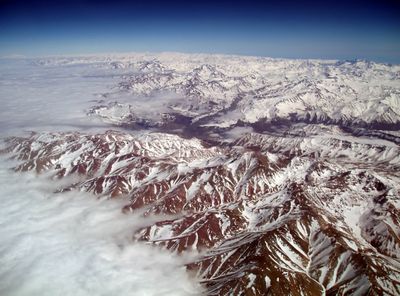
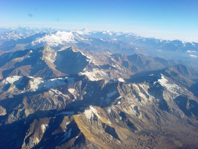
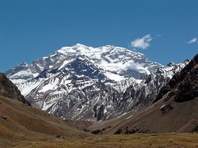
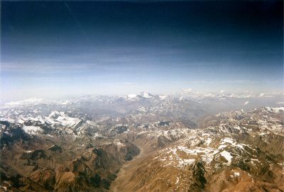
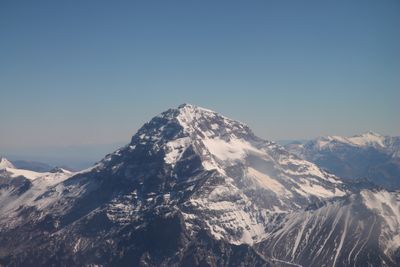
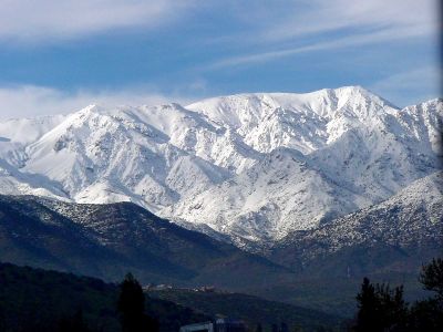
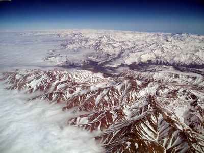
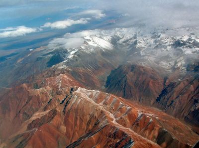
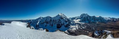
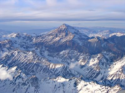
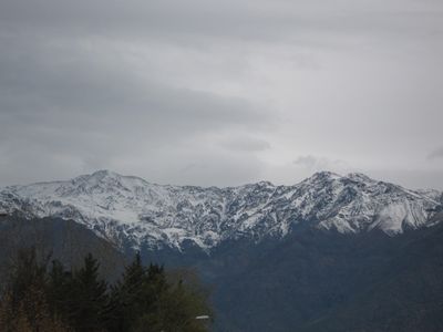
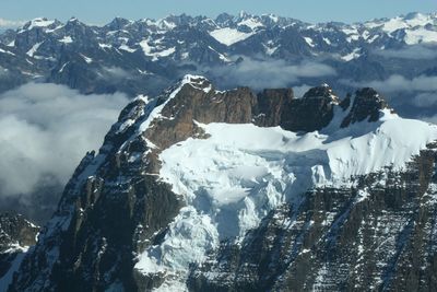
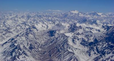
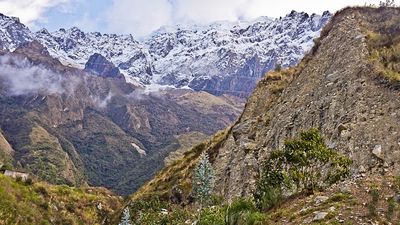
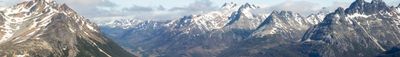
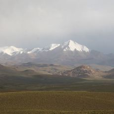
Stretching 7,000 kilometers (4,350 miles) along South America's western edge, the range creates a continuous barrier between Pacific coast and interior lowlands, with peaks regularly exceeding 16,400 feet (5,000 meters) and encompassing numerous active volcanoes and extensive glacial systems throughout its length.

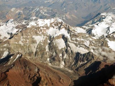
Formation began approximately 250 million years ago when the South American and Nazca plates collided, though the most intensive uplift phase started roughly 30 million years ago and continues today, explaining ongoing seismic and volcanic activity throughout the region.

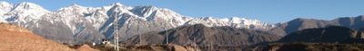
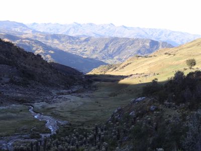
Communities throughout the range have maintained livestock herding traditions adapted to thin mountain air, while regional architecture responds to seismic activity with construction methods refined across generations to withstand frequent earthquakes along this geologically active zone.

National parks in Argentina and Chile offer access points with marked trails, though elevation sickness becomes a concern above 10,000 feet (3,000 meters), requiring gradual acclimatization. The November-to-March period provides the most reliable weather conditions, with mountain refuges and facilities typically open during these summer months.

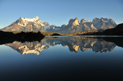
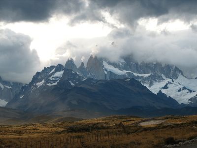
The southern section contains the Patagonian Ice Field, covering approximately 6,500 square miles (16,800 square kilometers) and feeding 48 major glaciers that flow into valleys and fjords, making it the largest ice mass in the Southern Hemisphere outside Antarctica.

The community of curious travelers

AroundUs brings together thousands of curated places, local tips, and hidden gems, enriched daily by 60,000 contributors worldwide.

Start exploring
Elevation above the sea
6,962 m
GPS coordinates
-21.82600,-66.69800
Latest update
December 12, 2025 18:57
Reviews
Share your experience

No review yet

Discussions
Start a discussion...

No discussion yet

« Andes - Mountain range in western South America » is provided by Around Us (aroundus.com). Images and texts are derived from Wikimedia project under a Creative Commons license. You are allowed to copy, distribute, and modify copies of this page, under the conditions set by the license, as long as this note is clearly visible.

Discover hidden gems everywhere you go!

From secret cafés to breathtaking viewpoints, skip the crowded tourist spots and find places that match your style. Our app makes it easy with voice search, smart filtering, route optimization, and insider tips from travelers worldwide. Download now for the complete mobile experience.

Around Us App Screenshot

A unique approach to discovering new places

Le Figaro

All the places worth exploring

France Info

A tailor-made excursion in just a few clicks

20 Minutes

Around Us
Travel Guide & Maps
Download

Send to your phone

QR Code
1

Open the camera app on your mobile.

2

Point at the QR code with your camera. A notification will appear.

3

Tap the notification to open the link.