Santo Domingo de los Tsáchilas Province

Log in to your account

AroundUs is a community-driven map of interesting places, built by curious explorers like you. It grows with every review, story, and photo you share.
Connect to save your favorite spots, contribute locations, and create personalized routes.
By continuing, you accept our Terms and Conditions and our Privacy Policy
Add to collection
Map
Suggest a change
Share

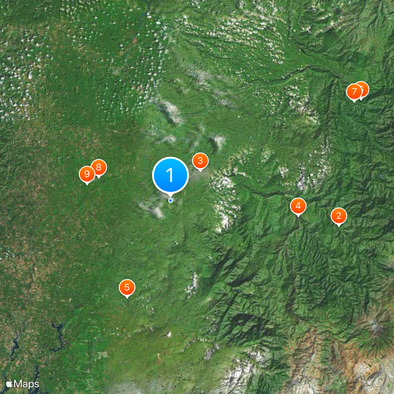
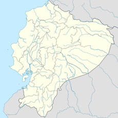
Santo Domingo de los Tsáchilas Province, Province in western Ecuador

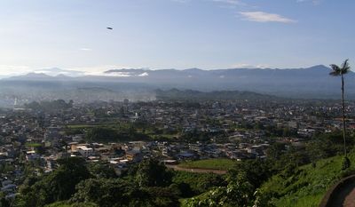
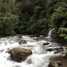
Santo Domingo de los Tsáchilas is a province in western Ecuador that spreads between the foothills of the Andes and the coastal region. The landscape includes tropical forests and river valleys cut by several watercourses, connecting farmed land with natural vegetation.

The territory belonged to Pichincha province for centuries until it became independent through a referendum in November 2007. The decision reflected the growth of Santo Domingo city and its economic importance as a junction between the mountains and the coast.

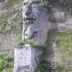
The indigenous people carry the nickname Colorados due to the red coloring of their hair with achiote, a plant paste from the region. Visitors can learn about traditional healing practices and Tsáchila crafts in some communities, which include mainly wood carvings and woven textiles.

The province can be reached from Quito via main highways in about two hours and offers access to different communities and natural areas. Those visiting the region should be prepared for changing weather, as tropical rain may occur throughout the year.

The name of the capital matches the name of the province, which is somewhat uncommon among Ecuadorian administrative units. The city serves as a trading center for agricultural products coming from the surrounding valleys and plantations.

Location: Ecuador

Inception: November 6, 2007

Capital city: Santo Domingo

Elevation above the sea: 604 m

Shares border with: Esmeraldas Province, Manabí Province, Los Ríos Province, Cotopaxi Province, Pichincha Province

Website: http://gptsachila.gob.ec

GPS coordinates: -0.33333,-79.25000

Latest update: December 11, 2025 21:55

Photos
Reviews

Visited this place? Tap the stars to rate it and share your experience / photos with the community! Try now! You can cancel it anytime.

« Santo Domingo de los Tsáchilas Province - Province in western Ecuador » is provided by Around Us (aroundus.com). Images and texts are derived from Wikimedia project under a Creative Commons license. You are allowed to copy, distribute, and modify copies of this page, under the conditions set by the license, as long as this note is clearly visible.

Discover hidden gems everywhere you go!

From secret cafés to breathtaking viewpoints, skip the crowded tourist spots and find places that match your style. Our app makes it easy with voice search, smart filtering, route optimization, and insider tips from travelers worldwide. Download now for the complete mobile experience.

Around Us App Screenshot

A unique approach to discovering new places

Le Figaro

All the places worth exploring

France Info

A tailor-made excursion in just a few clicks

20 Minutes