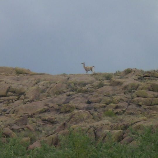
Lihué Calel National Park, National park in Lihuel Calel, Argentina.
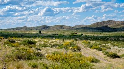
Lihué Calel National Park covers 32,514 hectares of the Lihué Calel range, whose worn summits reach 589 m at Cerro Sociedad Científica Argentina. The hills rise from the semi-arid plains of La Pampa; their north slopes are gentle and their south slopes abrupt. Seasonal streams fed by impermeable soil create a wetter microclimate, with caldén groves, jarilla scrub and tussock grass.
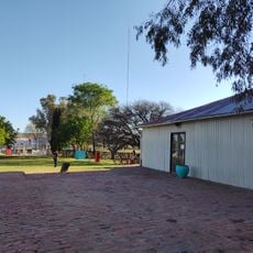
In 1943 Luis Gallardo, son of a noted naturalist, bought the Lihué Calel lands and built a large house there. The provincial government expropriated the ranch for tourism in 1964, and on 3 October 1973 La Pampa donated the mountain field to the nation by decree 1301/1973. Law 22351 of 4 November 1980 named Lihué Calel among the parks of the national system.
The name Lihué Calel comes from Mapudungun: lihué means life and calel means mountain range, so the sierras are the "mountains of life". In the Valle de las Pinturas, hunters and gatherers painted red and black geometric motifs around 2000 BC, and the park also holds sites where these peoples buried their dead. The main ravine and valley carry the name of chief Manuel Namuncurá, who regrouped his warriors in these hills before fighting General Levalle's army.
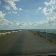
Access is by road: the park lies 230 km from Santa Rosa, 121 km from General Acha and 35 km from Puelches. Trails lead from the ranger base into the sierras, where slopes are gentle to the north and abrupt to the south. Water is scarce, so carry your own supply.
The name comes from the Mapudungun language, blending 'Lihue' meaning life with 'Calel' referring to mountains. This pairing creates the poetic meaning of Mountains of Life.
The community of curious travelers
AroundUs brings together thousands of curated places, local tips, and hidden gems, enriched daily by 94,335 contributors worldwide.