Cerro Pan de Azúcar, Mountain peak in Córdoba Province, Argentina.
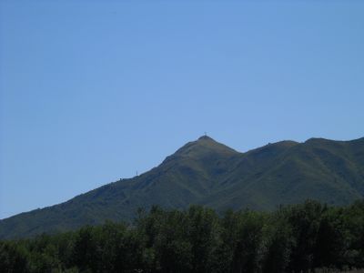
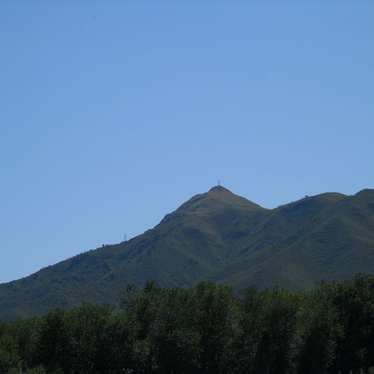
Cerro Pan de Azúcar is a hill in the Sierras Chicas of Córdoba Province, Argentina, reaching 1,290 metres above sea level. Its broad, rounded summit is covered in dry, pale brown and yellowish grass, with a single thin cross at the highest point and a slender mast or antenna on the lower left slope. The lower slopes are dark green with dense, stunted forest.
The road over the hill, RP E-54, was built in 1931 under President José Félix Uriburu and named 6 de Septiembre after the 1930 coup against Hipólito Yrigoyen, who had inaugurated the earlier route. It runs just over 20 km and for years hosted rally stages, earning the nickname "La Catedral del Rally de Argentina" until environmental damage ended its use.
The name Pan de Azúcar comes from the hill's cone shape, like the large conical sugar loaves once sold. The original peoples called it Supaj-ñuñu, "virgin's breast", for the same silhouette seen from certain angles. A large cross stands on the summit, reached by a chairlift from a parador at 1,010 m.
The summit is reached by a chairlift that departs from a parador at 1,010 m, about 7 km from Cosquín, and climbs to 1,290 m. The RP E-54 road, built in 1931 and running just over 20 km, crosses the hill and links Villa Allende to the east with Cosquín to the west. Snow occasionally falls on the coldest winter days.
The summit cross and the chairlift from a parador at 1,010 m are easy to spot, but the hill's older name, Supaj-ñuñu, came from the original peoples, who saw a virgin's breast in its profile from certain angles. The provincial route RP E-54 crossing the hill was built in 1931 and named 6 de Septiembre.
The community of curious travelers
AroundUs brings together thousands of curated places, local tips, and hidden gems, enriched daily by 94,042 contributors worldwide.